
1954 Map of Baxter
USGS Topo · Published 1955About this map
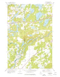
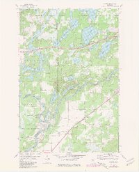
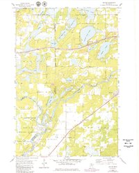
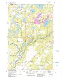
Baxter Village and the surrounding Crow Wing County landscape are defined by a complex network of glacial lakes and the confluence of major waterways. In the mid-1950s, this area north of Camp Ripley Military Reservation served as a significant transport corridor, where the Northern Pacific railroad tracks and highways cut through the dense Pillsbury State Forest. The map shows a transition from the established settlement of Baxter to the more industrial and rural outskirts, including the settlement at Barrows.
Find a feature on this map
44 named features on this map. Tap any name to fly to it.
Don’t see what you’re looking for? This feature index may not catch every label — zoom into the map to look around manually.
Map Details
Editions of this 1954 Baxter Map
5 editions found
Other maps of this area

1915 · Brainerd
USGS Topo · 1:62,500

1916 · Pillager
USGS Topo · 1:62,500

1918 · Brainerd
USGS Topo · 1:62,500

1919 · Pillager
USGS Topo · 1:62,500

1948 · Belle Prairie
USGS Topo · 1:62,500

1948 · Lastrup
USGS Topo · 1:62,500

1950 · Lastrup
USGS Topo · 1:62,500

1950 · Belle Prairie
USGS Topo · 1:62,500

1953 · Brainerd
USGS Topo · 1:250,000

1954 · Pillager
USGS Topo · 1:24,000