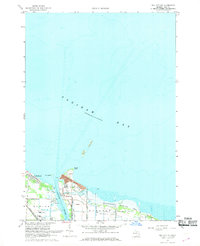
1967 Map of Bay City NE
USGS Topo · Published 1969About this map
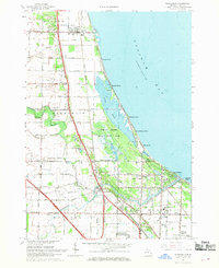
Industrial infrastructure and coastal recreation define the entrance to the Saginaw River in the late 1960s. The shoreline is shaped by the settling ponds and conveyors of the local power station, punctuated by a U S Coast Guard Station and a Lighthouse at the mouth of the channel. This survey documents the transition from the developed town of Essexville to the marshy eastern expanse of the Quanicassee Wildlife Area. Shipping and logistics are central to the landscape, with the Detroit and Mackinac and Chesapeake and Ohio railroads serving the waterfront. Small coastal communities like Aplin Beach stand near Windy Point, while several named islands including Gull Island and Shelter Island dot the waters of Saginaw Bay. Local thoroughfares such as Old Indian Road and Treaty Road provide a record of historic land divisions and transit routes near the bay.
Find a feature on this map
31 named features on this map. Tap any name to fly to it.
Don’t see what you’re looking for? This feature index may not catch every label — zoom into the map to look around manually.
Map Details
Editions of this 1967 Bay City NE Map
2 editions found
Other maps of this area

1916 · Bay City
USGS Topo · 1:62,500

1919 · Bay City
USGS Topo · 1:62,500

1943 · Bay City
USGS Topo · 1:62,500

1954 · Flint
USGS Topo · 1:250,000

1958 · Flint
USGS Topo · 1:250,000

1963 · Quanicassee
USGS Topo · 1:24,000
1967 · Essexville
USGS Topo · 1:24,000
1967 · Pinconning
USGS Topo · 1:24,000
1967 · Kawkawlin
USGS Topo · 1:24,000
1967 · Bay City
USGS Topo · 1:24,000