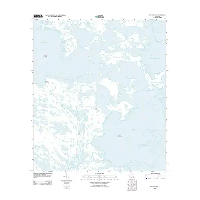
2012 Map of Bay Dosgris
USGS Topo · Published 2012About this map
The intricate coastal landscape of Jefferson Parish is defined by a labyrinth of waterways and industrial sites as they appeared in 2012. Large water bodies such as Little Lake and Hackberry Bay dominate the topography, while a dense network of smaller channels like Manila Bayou, Snail Bayou, and Bayou Casse-Tete weave through the marshland. This area is a critical hub for petroleum extraction, featuring expansive operations at the Plum Point Oil and Gas Field, South Little Lake Oil and Gas Field, Coffee Bay Oil Field, and Bay De Chene Oil Field. Evidence of local heritage remains at the Alombro Cem, a notable landmark for genealogists. The map illustrates the specialized infrastructure of the Gulf coast, where water and industry meet in locations like Saint Joseph Bay and along the shores of Bayou Dosgris and Bayou Saint Denis.
Find a feature on this map
22 named features on this map. Tap any name to fly to it.
Don’t see what you’re looking for? This feature index may not catch every label — zoom into the map to look around manually.
Map Details
Editions of this 2012 Bay Dosgris Map
This is the sole edition of this map. No revisions or reprints were ever made.
Other maps of this area

1891 · Pointe a La Hache
USGS Topo · 1:62,500

1892 · Barataria
USGS Topo · 1:62,500

1892 · Creole
USGS Topo · 1:62,500

1892 · Pointe a La Hache
USGS Topo · 1:62,500

1893 · Fort Livingston
USGS Topo · 1:62,500

1935 · Mink Bayou
USGS Topo · 1:31,680

1935 · Wilkinson Bay
USGS Topo · 1:31,680

1939 · Pointe a La Hache
USGS Topo · 1:62,500

1941 · Barataria
USGS Topo · 1:62,500

1944 · Barataria
USGS Topo · 1:62,500