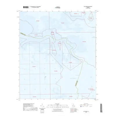
2018 Map of Bay Dosgris
USGS Topo · Published 2018About this map
Alombro Cem sits at the heart of this coastal landscape, a small land-based marker amid a complex network of wetlands and tidal waters where Jefferson Parish and Lafourche Parish meet. This 2018 survey reveals the intricate hydrography of the Mississippi River delta region, showing how the Barataria Bay Waterway cuts through the marsh to provide passage toward the Gulf of Mexico. The map illustrates a territory defined by shifting water boundaries, including Bay Dosgris, Saint Joseph Bay, and Snail Bay. Numerous waterways like Manila Bayou and Grand Bayou thread between the bays, creating a fragmented landscape of islands and channels. This modern record is essential for understanding the contemporary state of the Louisiana coast, where traditional place names like Bayou Casse-Tete and Creole Pass persist even as the shoreline undergoes constant environmental change.
Find a feature on this map
33 named features on this map. Tap any name to fly to it.
Don’t see what you’re looking for? This feature index may not catch every label — zoom into the map to look around manually.
Map Details
Editions of this 2018 Bay Dosgris Map
This is the sole edition of this map. No revisions or reprints were ever made.
Other maps of this area

1891 · Pointe a La Hache
USGS Topo · 1:62,500

1892 · Barataria
USGS Topo · 1:62,500

1892 · Creole
USGS Topo · 1:62,500

1892 · Pointe a La Hache
USGS Topo · 1:62,500

1893 · Fort Livingston
USGS Topo · 1:62,500

1935 · Mink Bayou
USGS Topo · 1:31,680

1935 · Wilkinson Bay
USGS Topo · 1:31,680

1939 · Pointe a La Hache
USGS Topo · 1:62,500

1941 · Barataria
USGS Topo · 1:62,500

1944 · Barataria
USGS Topo · 1:62,500