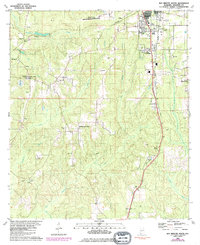
1980 Map of Bay Minette South
USGS Topo · Published 1985About this map
The Bay Minette southern outskirts and the rural surrounding Baldwin County landscape are documented in this 1980s-era revision. The area shows a transition from the municipal hub—home to Faulkner State Jr College and the Vocational Sch—to the scattered farming communities of Whitehouse Forks, Carpenter, and Crossroads. The Seaboard System railroad tracks cut through the terrain, serving the local industrial needs reflected in several Claypit sites along the corridor.
Find a feature on this map
38 named features on this map. Tap any name to fly to it.
Don’t see what you’re looking for? This feature index may not catch every label — zoom into the map to look around manually.
Map Details
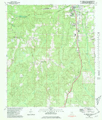
Editions of this 1980 Bay Minette South Map
2 editions found
Other maps of this area

1920 · Robertsdale
USGS Topo · 1:62,500

1921 · Fairhope
USGS Topo · 1:62,500

1941 · Blakeley
USGS Topo · 1:31,680

1941 · Bay Minette
USGS Topo · 1:62,500

1941 · Robertsdale
USGS Topo · 1:62,500

1941 · Fairhope
USGS Topo · 1:62,500

1942 · Hurricane
USGS Topo · 1:31,680
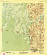
1942 · Blakeley
USGS Topo · 1:31,680

1942 · Dyas
USGS Topo · 1:62,500

1943 · Robertsdale
USGS Topo · 1:62,500