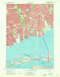
1969 Map of Bay Shore West
USGS Topo · Published 1971About this map
Great South Bay dominates the southern half of this coastal survey, where the barrier islands and intricate tidal flats of Captree Island and Oak Island meet the open Atlantic Ocean at Democrat Point. On the mainland, the suburban landscape of Suffolk County is densely developed across Lindenhurst, West Babylon, and Brightwaters. The mapping reflects the mid-century expansion of the Long Island parkway system, with the Robert Moses Causeway and Southern State Parkway providing critical transit links through the region. This era shows a community built around both leisure and education, evidenced by the numerous institutions like the Martin Luther King Sch and recreational landmarks such as the Babylon Yacht Club and Belmont Lake State Park. The shoreline is defined by a series of necks and creeks, including Santapogue Neck and Okenok Neck, illustrating the historic relationship between these residential settlements and their maritime geography.
Find a feature on this map
106 named features on this map. Tap any name to fly to it.
Don’t see what you’re looking for? This feature index may not catch every label — zoom into the map to look around manually.
Map Details
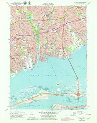
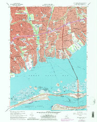
Editions of this 1969 Bay Shore West Map
Other maps of this area

1901 · Babylon
USGS Topo · 1:62,500

1901 · Northport
USGS Topo · 1:62,500

1902 · Setauket
USGS Topo · 1:62,500

1902 · Fire Island
USGS Topo · 1:62,500

1903 · Babylon
USGS Topo · 1:62,500

1903 · Northport
USGS Topo · 1:62,500

1903 · Fire Island
USGS Topo · 1:62,500

1904 · Setauket
USGS Topo · 1:62,500

1904 · Islip
USGS Topo · 1:125,000

1919 · Setauket
USGS Topo · 1:62,500