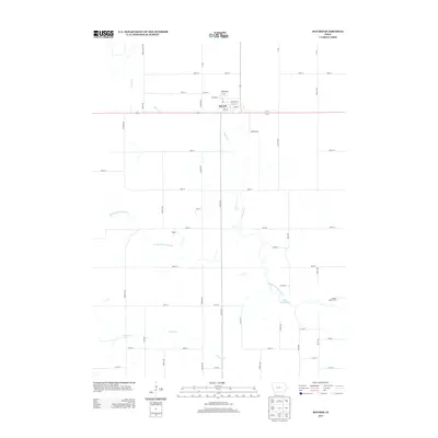
2013 Map of Bayard
USGS Topo · Published 2013About this map
Bayard serves as the primary municipal hub in this western Iowa landscape, oriented around a grid that includes the historically significant Railroad St. The town sits just north of the Middle Raccoon River, which winds through the central portion of the area before widening into Lake Panorama in the southeast. This 2013 survey illustrates the agricultural character of Guthrie County, defined by a rigid network of section-line roads like Juniper Ave and 140th St. To the south, the river valley is joined by Brushy Cr, while the smaller community of Dodge and the Guthrie Grove Camp provide additional points of interest for local researchers. The map clearly shows the intersection of natural watercourses and the human-made grid, highlighting how the local geography influenced the development of these rural communities.
Find a feature on this map
47 named features on this map. Tap any name to fly to it.
Don’t see what you’re looking for? This feature index may not catch every label — zoom into the map to look around manually.
Map Details
Editions of this 2013 Bayard Map
This is the sole edition of this map. No revisions or reprints were ever made.
Other maps of this area

1952 · Panora
USGS Topo · 1:62,500

1954 · Bagley
USGS Topo · 1:62,500

1954 · Omaha
USGS Topo · 1:250,000

1957 · Omaha
USGS Topo · 1:250,000

1958 · Omaha
USGS Topo · 1:250,000

1971 · Coon Rapids South
USGS Topo · 1:24,000

1971 · Coon Rapids NE
USGS Topo · 1:24,000

1971 · Coon Rapids North
USGS Topo · 1:24,000

1971 · Bayard
USGS Topo · 1:24,000

1971 · North Branch
USGS Topo · 1:24,000