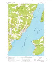
1964 Map of Bayfield
USGS Topo · Published 1976About this map
The town of Bayfield serves as the gateway to the Apostle Islands in this mid-1960s study, showcasing the maritime and timber-driven character of the Wisconsin shoreline. A ferry route connects the mainland to La Pointe on Madeline Island, a settlement with deep historical roots reflected by the La Pointe Cem and nearby Point De Froid. On the mainland, the Chicago and North Western railroad terminates at the water's edge, signifying the legacy of industrial transport in a landscape also defined by the Red Cliff Indian Reservation Boundary.
Find a feature on this map
50 named features on this map. Tap any name to fly to it.
Don’t see what you’re looking for? This feature index may not catch every label — zoom into the map to look around manually.
Map Details
Editions of this 1964 Bayfield Map
2 editions found
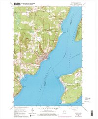
Other maps of this area

1941 · Bayfield
USGS Topo · 1:48,000

1942 · Ashland
USGS Topo · 1:48,000

1943 · Odanah
USGS Topo · 1:48,000

1945 · Odanah
USGS Topo · 1:48,000

1946 · Bayfield
USGS Topo · 1:48,000

1947 · Ashland
USGS Topo · 1:48,000

1953 · Ashland
USGS Topo · 1:250,000

1958 · Ashland
USGS Topo · 1:250,000

1963 · Oak Island
USGS Topo · 1:24,000
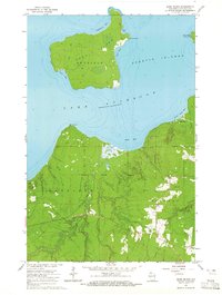
1964 · Sand Island
USGS Topo · 1:24,000