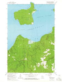
1964 Map of Sand Island
USGS Topo · Published 1965About this map
The northern reaches of Red Cliff Indian Reservation meet the southern shores of Lake Superior in this mid-1960s coastal survey. The map is defined by the separation of the mainland from the Apostle Islands, specifically featuring the entirety of Sand Island and the western edge of York Island. On the island, a northern Light stands watch over Lighthouse Bay and Justice Bay, connected to the interior by a network of trails. On the mainland, the terrain is characterized by the drainages of the Sand River and Raspberry River, which flow through heavily forested lands punctuated by several Gravel Pits and narrow roads. The transition from the mainland Sand Point across the water to West Bay on the island illustrates the maritime geography of this secluded part of Bayfield County before major modern developments.
Find a feature on this map
21 named features on this map. Tap any name to fly to it.
Don’t see what you’re looking for? This feature index may not catch every label — zoom into the map to look around manually.
Map Details
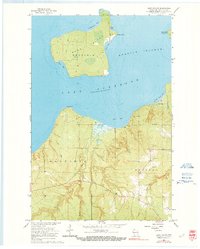
Editions of this 1964 Sand Island Map
2 editions found
Other maps of this area

1941 · Bayfield
USGS Topo · 1:48,000

1944 · Cornucopia
USGS Topo · 1:48,000

1946 · Cornucopia
USGS Topo · 1:48,000

1946 · Bayfield
USGS Topo · 1:48,000

1953 · Ashland
USGS Topo · 1:250,000

1954 · Two Harbors
USGS Topo · 1:250,000

1957 · Two Harbors
USGS Topo · 1:250,000

1958 · Ashland
USGS Topo · 1:250,000

1958 · Two Harbors
USGS Topo · 1:250,000
1963 · Bear Island
USGS Topo · 1:24,000