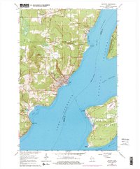
1964 Map of Bayfield
USGS Topo · Published 1976About this map
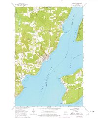
The waters of Lake Superior dominate this mid-century survey, defining the gateway to the Apostle Islands. On the mainland, the city of Bayfield serves as the focal point for regional activity, showing a detailed street grid and maritime infrastructure alongside the Chicago and North Western rail line. To the north, the Red Cliff Indian Reservation Boundary marks the transition into tribal lands near the settlement of Red Cliff, while the local economy is evidenced by numerous gravel pits and the State Fish Hatchery near Pikes Bay.
Find a feature on this map
40 named features on this map. Tap any name to fly to it.
Don’t see what you’re looking for? This feature index may not catch every label — zoom into the map to look around manually.
Map Details
Editions of this 1964 Bayfield Map
2 editions found
Other maps of this area

1941 · Bayfield
USGS Topo · 1:48,000

1942 · Ashland
USGS Topo · 1:48,000

1943 · Odanah
USGS Topo · 1:48,000

1945 · Odanah
USGS Topo · 1:48,000

1946 · Bayfield
USGS Topo · 1:48,000

1947 · Ashland
USGS Topo · 1:48,000

1953 · Ashland
USGS Topo · 1:250,000

1958 · Ashland
USGS Topo · 1:250,000

1963 · Oak Island
USGS Topo · 1:24,000
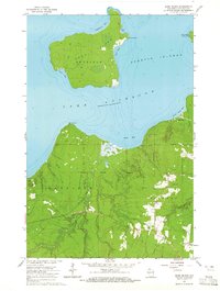
1964 · Sand Island
USGS Topo · 1:24,000