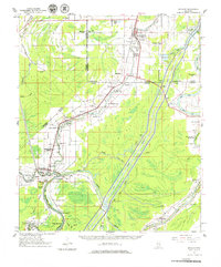
1961 Map of Bayland
USGS Topo · Published 1979About this map
The Illinois Central railroad corridor anchors this 1961 Mississippi Delta landscape, cutting diagonally through the junction of Sharkey, Humphreys, and Yazoo counties. The terrain is defined by an intricate network of waterways, including the Sunflower River, Yazoo River, and the Lower Auxiliary Channel, which serve as a backdrop for numerous small agricultural settlements. Community life is represented by a high density of rural institutions, from the Humphreys Co Training School near Louise to several family-named burial grounds like Tanglewood Cem and Kettleman Cem.
Find a feature on this map
69 named features on this map. Tap any name to fly to it.
Don’t see what you’re looking for? This feature index may not catch every label — zoom into the map to look around manually.
Map Details
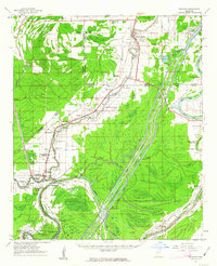
Editions of this 1961 Bayland Map
3 editions found

Other maps of this area

1939 · Onward
USGS Topo · 1:62,500

1939 · Lorenzen
USGS Topo · 1:62,500

1939 · Swan Lake
USGS Topo · 1:62,500

1940 · Auter
USGS Topo · 1:62,500

1940 · Mechanicsburg
USGS Topo · 1:62,500

1940 · Mileston
USGS Topo · 1:62,500

1953 · Greenwood
USGS Topo · 1:250,000

1954 · Mileston
USGS Topo · 1:62,500

1955 · Jackson
USGS Topo · 1:250,000

1956 · Greenwood
USGS Topo · 1:250,000