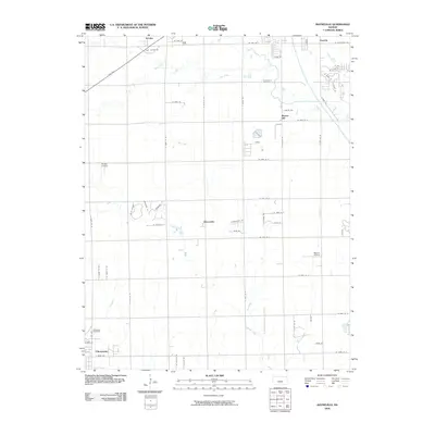
2009 Map of Bayneville
USGS Topo · Published 2009About this map
Bayneville and the surrounding agricultural landscape of Sedgwick County are captured here at the close of the first decade of the 21st century. This area south of Wichita shows a transition from traditional rural farmsteads to modern suburban residential patterns, particularly evident in developments like Creekview and Blue Stream. The small settlements of Schulte, Oatville, and Murray Gill serve as anchors within a dense grid of section roads, while Dry Creek and Spring Creek provide the primary natural drainage across the level terrain.
Find a feature on this map
60 named features on this map. Tap any name to fly to it.
Don’t see what you’re looking for? This feature index may not catch every label — zoom into the map to look around manually.
Map Details
Editions of this 2009 Bayneville Map
This is the sole edition of this map. No revisions or reprints were ever made.
Other maps of this area

1889 · Cheney
USGS Topo · 1:125,000

1889 · Wichita
USGS Topo · 1:125,000

1889 · Caldwell
USGS Topo · 1:125,000

1890 · Wellington
USGS Topo · 1:125,000

1891 · Cheney
USGS Topo · 1:125,000

1893 · Caldwell
USGS Topo · 1:125,000

1894 · Wichita
USGS Topo · 1:125,000

1897 · Caldwell
USGS Topo · 1:125,000

1901 · Cheney
USGS Topo · 1:125,000

1943 · Wichita West
USGS Topo · 1:31,680