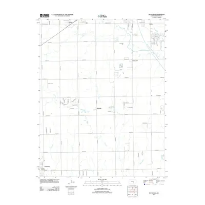
2012 Map of Bayneville
USGS Topo · Published 2012About this map
Schulte and Bayneville anchor this portion of Sedgwick County, showing the agricultural landscape south of Wichita in the early 21st century. The map records the essential infrastructure of rural Kansas, from the grain elevator-dominated skyline of Clearwater to the scattered cemeteries that hold local family histories, such as Saint Peters Cem and Greenwood Cem. Hydrology is a defining feature here, with the Wichita Valley Center Floodway cutting through the eastern edge near Oatville, while the natural meanders of Cowskin Cr and Spring Cr drain the central plains. Smaller settlements like Murray Gill and landmarks like Rucker Airport and Wattles Lake illustrate the transition between established town centers and the grid-iron road network that defines the region.
Find a feature on this map
66 named features on this map. Tap any name to fly to it.
Don’t see what you’re looking for? This feature index may not catch every label — zoom into the map to look around manually.
Map Details
Editions of this 2012 Bayneville Map
This is the sole edition of this map. No revisions or reprints were ever made.
Other maps of this area

1889 · Cheney
USGS Topo · 1:125,000

1889 · Wichita
USGS Topo · 1:125,000

1889 · Caldwell
USGS Topo · 1:125,000

1890 · Wellington
USGS Topo · 1:125,000

1891 · Cheney
USGS Topo · 1:125,000

1893 · Caldwell
USGS Topo · 1:125,000

1894 · Wichita
USGS Topo · 1:125,000

1897 · Caldwell
USGS Topo · 1:125,000

1901 · Cheney
USGS Topo · 1:125,000

1943 · Wichita West
USGS Topo · 1:31,680