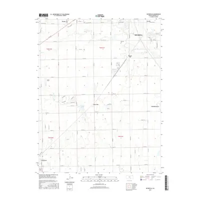
2015 Map of Bayneville
USGS Topo · Published 2015About this map
Cowskin Creek and its tributary Dry Creek meander through this landscape south of Wichita during a period of steady suburban expansion into the surrounding agricultural sections. The map centers on the small settlement of Bayneville, while the northern edge transition into the urbanized reaches of Oatville and the industrial infrastructure around Murray Gill. Notable family and religious sites are preserved here, including the Saint Peters Cemetery near Schulte and Greenwood Cemetery further east.
Find a feature on this map
46 named features on this map. Tap any name to fly to it.
Don’t see what you’re looking for? This feature index may not catch every label — zoom into the map to look around manually.
Map Details
Editions of this 2015 Bayneville Map
This is the sole edition of this map. No revisions or reprints were ever made.
Other maps of this area

1889 · Cheney
USGS Topo · 1:125,000

1889 · Wichita
USGS Topo · 1:125,000

1889 · Caldwell
USGS Topo · 1:125,000

1890 · Wellington
USGS Topo · 1:125,000

1891 · Cheney
USGS Topo · 1:125,000

1893 · Caldwell
USGS Topo · 1:125,000

1894 · Wichita
USGS Topo · 1:125,000

1897 · Caldwell
USGS Topo · 1:125,000

1901 · Cheney
USGS Topo · 1:125,000

1943 · Wichita West
USGS Topo · 1:31,680