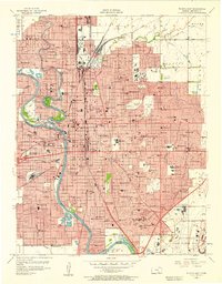
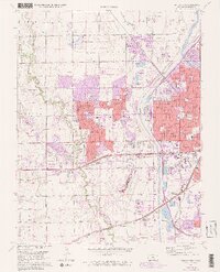
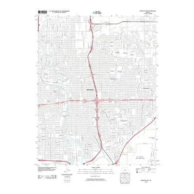
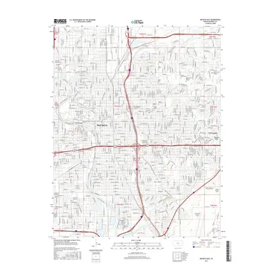
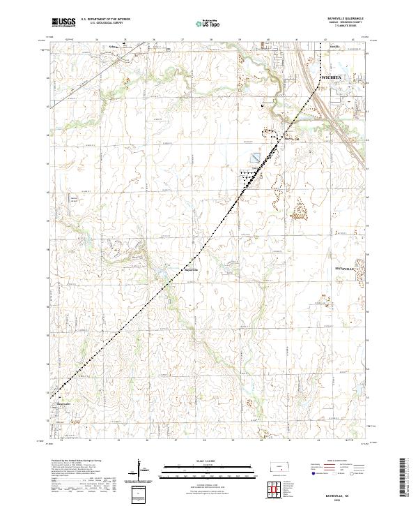
1943 Map of Bayneville
USGS Topo · Published 1949About this map
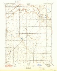
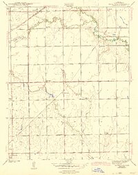
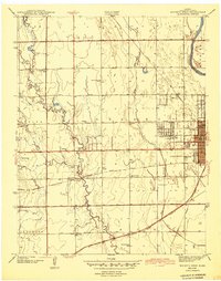
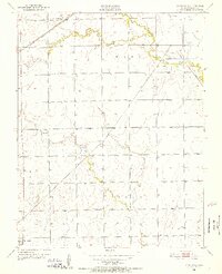
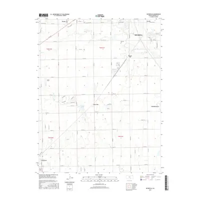
The agricultural landscape of Sedgwick County is defined by a dense network of local school districts and small rail-side communities during the early 1940s. Two major rail lines, the Atchison Topeka and Santa Fe and the Missouri Pacific, intersect the territory, facilitating the transport of goods from rural hubs like Schulte, Oatville, and the namesake village of Bayneville. The map reveals a high concentration of educational sites, such as Brooklyn Sch, Mayflower Sch, and Spring Bank Sch, which suggest the population density of these farming townships before the consolidation of rural schools. Meandering waterways like Cowskin Creek and Dry Creek provide natural drainage across the flat Kansas plains. Local landmarks including the Independence Ch and Greenwood Cem serve as important anchors for genealogists researching family locations in Waco or Ninnescah townships just as the mid-century era began.
Find a feature on this map
23 named features on this map. Tap any name to fly to it.
Don’t see what you’re looking for? This feature index may not catch every label — zoom into the map to look around manually.
Map Details
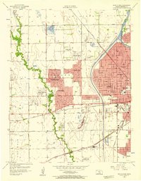
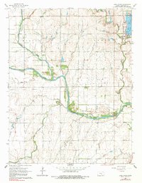
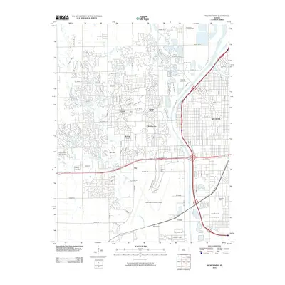
Editions of this 1943 Bayneville Map
3 editions found

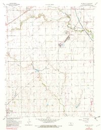
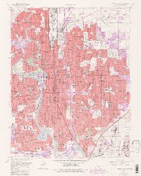
Historical Maps of Wichita Through Time
30 maps found
1943 Bayneville
Sedgwick County, KS

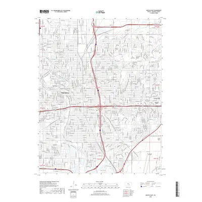
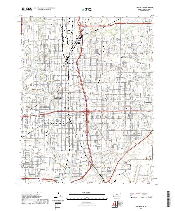
1943 Wichita East
Sedgwick County, KS
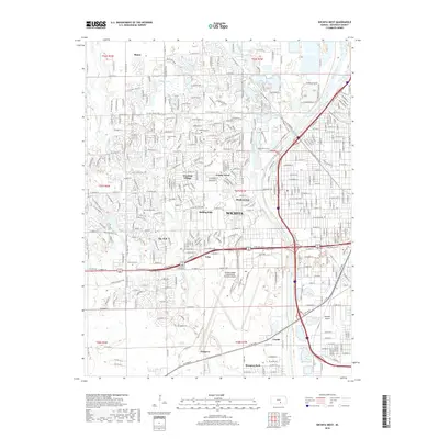
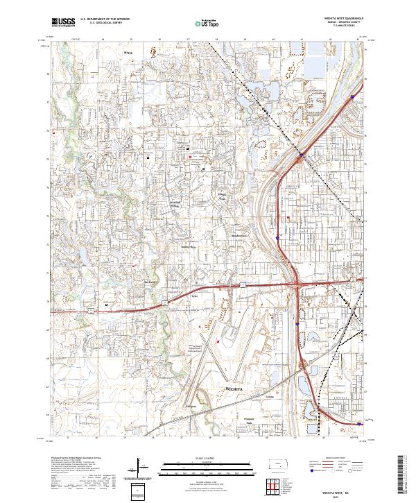
1943 Wichita West
Sedgwick County, KS
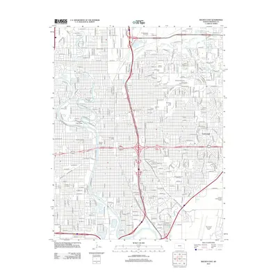
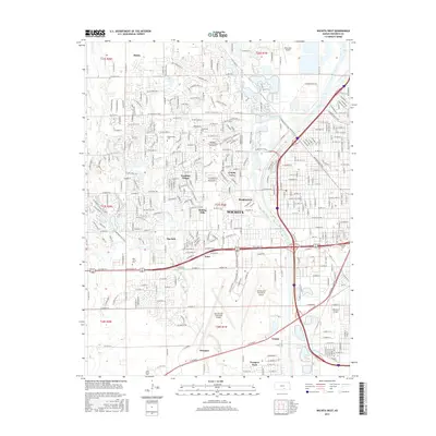
1950 Bayneville
Sedgwick County, KS
1956 Wichita East
Sedgwick County, KS
1956 Wichita West
Sedgwick County, KS
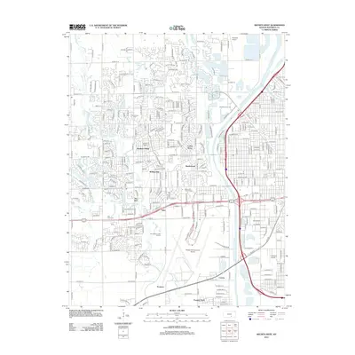
1961 Bayneville
Sedgwick County, KS
1961 Wichita East
Sedgwick County, KS
1961 Wichita West
Sedgwick County, KS
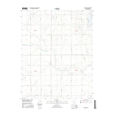
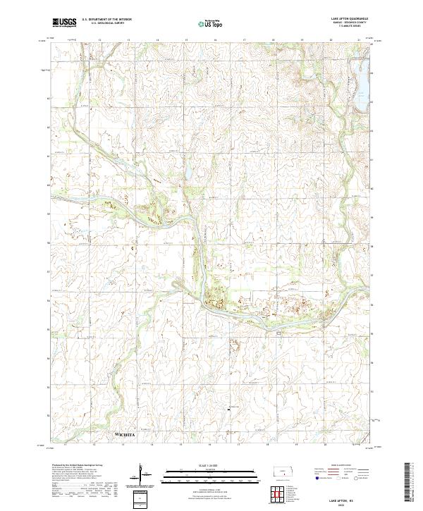
1965 Lake Afton
Sedgwick County, KS
2009 Bayneville
Sedgwick County, KS
2009 Lake Afton
Sedgwick County, KS
2010 Wichita East
Sedgwick County, KS
2010 Wichita West
Sedgwick County, KS
2012 Bayneville
Sedgwick County, KS
2012 Lake Afton
Sedgwick County, KS
2012 Wichita East
Sedgwick County, KS
2012 Wichita West
Sedgwick County, KS
2015 Bayneville
Sedgwick County, KS
2015 Lake Afton
Sedgwick County, KS
2015 Wichita East
Sedgwick County, KS
2015 Wichita West
Sedgwick County, KS
2018 Bayneville
Sedgwick County, KS
2018 Lake Afton
Sedgwick County, KS
2018 Wichita East
Sedgwick County, KS
2018 Wichita West
Sedgwick County, KS
2022 Bayneville
Sedgwick County, KS
2022 Lake Afton
Sedgwick County, KS
2022 Wichita East
Sedgwick County, KS
2023 Wichita West
Sedgwick County, KS