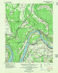
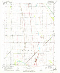
1939 Map of Bayouville
USGS Topo · Published 1942This historical map portrays the area of Bayouville in 1939, primarily covering New Madrid County as well as portions of Tennessee and Kentucky. Featuring a scale of 1:62500, this map provides a highly detailed snapshot of the terrain, roads, buildings, counties, and historical landmarks in the Bayouville region at the time. Published in 1942, it is one of 2 known editions of this map due to revisions or reprints.
Find a feature on this map
62 named features on this map. Tap any name to fly to it.
Don’t see what you’re looking for? This feature index may not catch every label — zoom into the map to look around manually.
Map Details
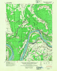
Editions of this 1939 Bayouville Map
2 editions found
Historical Maps of Pinhook Through Time
12 maps found
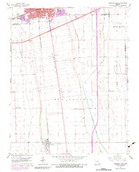
1939 Bayouville
New Madrid County, MO
1951 Hubbard Lake
New Madrid County, MO
1951 New Madrid SE
New Madrid County, MO

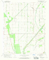
1955 Bayouville
New Madrid County, MO
1963 Sikeston South
New Madrid County, MO
1969 Henderson Mound
New Madrid County, MO
1969 Hubbard Lake
New Madrid County, MO
1971 Charter Oak
New Madrid County, MO
1971 Kewanee
New Madrid County, MO
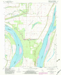
1971 Point Pleasant
New Madrid County, MO

1972 Bayouville
New Madrid County, MO

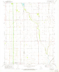
1978 Boekerton
New Madrid County, MO