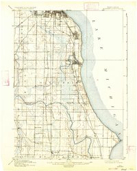
1901 Map of Bayview
USGS Topo · Published 1934About this map
The industrial corridor and rural outskirts south of Milwaukee come into focus in this late nineteenth-century survey. Rapid expansion along the Lake Michigan shoreline is visible through the burgeoning communities of Bayview, St Francis, and Cudahy. While the coast is dominated by urban growth and the Chicago And Northwestern Railroad, the interior of Milwaukee and Racine counties retains its agricultural character, dotted with small crossroads settlements like New Coeln, Stargard, and Kilbournville. The rail-and-river geography of the era is anchored by the Chicago Milwaukee And ST. Paul Railroad and the winding course of the Root River. Significant local landmarks include Horlicks Mill near the southern edge and the post office at Lamberton, providing a look at the essential transport and processing hubs that supported the area before modern suburbanization obscured these nineteenth-century village boundaries.
Find a feature on this map
40 named features on this map. Tap any name to fly to it.
Don’t see what you’re looking for? This feature index may not catch every label — zoom into the map to look around manually.
Map Details
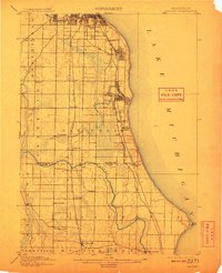
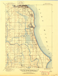
Editions of this 1901 Bayview Map
4 editions found
Other maps of this area

1891 · Bayview
USGS Topo · 1:62,500

1891 · Muskego
USGS Topo · 1:62,500

1892 · Milwaukee
USGS Topo · 1:62,500

1892 · Waukesha
USGS Topo · 1:62,500

1892 · Racine
USGS Topo · 1:62,500

1893 · Silver Lake
USGS Topo · 1:62,500

1901 · Milwaukee
USGS Topo · 1:62,500

1901 · Waukesha
USGS Topo · 1:62,500

1901 · Bayview
USGS Topo · 1:62,500

1901 · Muskego
USGS Topo · 1:62,500