1951 Map of Beach Haven
USGS Topo · Published 1973About this map
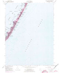
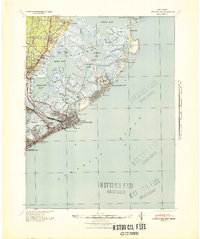
Long Beach island is captured here during a significant period of mid-century residential expansion, with purple revisions from 1972 highlighting the rapid growth of seaside communities. This barrier island landscape is defined by a dense string of coastal settlements including Beach Haven, North Beach Haven, and Spray Beach, stretching northward through Beach Haven Gardens and Haven Beach. The map illustrates the narrow, vulnerable geography of the island, squeezed between the Atlantic Ocean and the sheltered waters of Little Egg Harbor.
Find a feature on this map
26 named features on this map. Tap any name to fly to it.
Don’t see what you’re looking for? This feature index may not catch every label — zoom into the map to look around manually.
Map Details
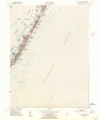
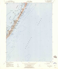
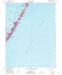
Editions of this 1951 Beach Haven Map
4 editions found
Other maps of this area

1887 · Atlantic City
USGS Topo · 1:62,500

1888 · Little Egg Harbor
USGS Topo · 1:62,500

1888 · Long Beach
USGS Topo · 1:62,500

1893 · Little Egg Harbor
USGS Topo · 1:62,500

1893 · Long Beach
USGS Topo · 1:62,500

1894 · Atlantic City
USGS Topo · 1:62,500

1919 · Long Beach
USGS Topo · 1:62,500

1920 · Little Egg Harbor
USGS Topo · 1:62,500

1940 · Atlantic City
USGS Topo · 1:62,500
1941 · Atlantic City
USGS Topo · 1:62,500