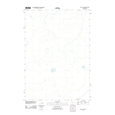
2012 Map of Beach Lake
USGS Topo · Published 2012About this map
Highland Hot Springs anchors the northwest corner of this remote section of Park County, where geothermal activity and high-altitude drainage systems define the landscape. The area is characterized by a complex network of waterways, including Alum Cr and Trout Cr, which carve through the terrain as they flow toward the surrounding basins. Centrally located, Beach Lake sits as a prominent body of water, while Dryad Lake is positioned further to the east.
Find a feature on this map
9 named features on this map. Tap any name to fly to it.
Don’t see what you’re looking for? This feature index may not catch every label — zoom into the map to look around manually.
Map Details
Editions of this 2012 Beach Lake Map
This is the sole edition of this map. No revisions or reprints were ever made.
Other maps of this area
1885 · Lake
USGS Topo · 1:125,000
1885 · Gallatin
USGS Topo · 1:125,000
1885 · Gallatin
USGS Topo · 1:125,000
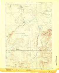
1886 · Shoshone
USGS Topo · 1:125,000
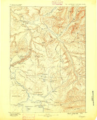
1886 · Canyon
USGS Topo · 1:125,000
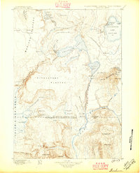
1888 · Shoshone
USGS Topo · 1:125,000
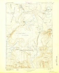
1895 · Shoshone
USGS Topo · 1:125,000
1895 · Canyon
USGS Topo · 1:125,000
1895 · Lake
USGS Topo · 1:125,000
1896 · Lake
USGS Topo · 1:125,000