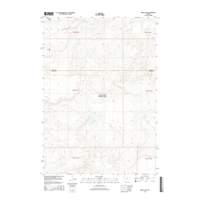
2015 Map of Beach Lake
USGS Topo · Published 2015About this map
Yellowstone National Park terrain defines this section of the Central Plateau, where the hydrology of the Continental Divide manifests in a dense network of high-altitude waterways. The Mary Mountain-Nez Perce Trail provides the primary historical transit corridor across the landscape, connecting the heights of Mary Mtn with the thermal activity at Highland Hot Springs. The area is characterized by its internal basins, most notably the namesake Beach Lake and the nearby Dryad Lake. Multiple drainage systems converge and diverge here, with the headwaters of Alum Cr, Trout Cr, and Spruce Cr carving distinct paths through the wilderness. This 2015 survey details the intricate topography of the Park and Teton county line before the drainages descend toward the park's major river systems.
Find a feature on this map
19 named features on this map. Tap any name to fly to it.
Don’t see what you’re looking for? This feature index may not catch every label — zoom into the map to look around manually.
Map Details
Editions of this 2015 Beach Lake Map
This is the sole edition of this map. No revisions or reprints were ever made.
Other maps of this area

1885 · Lake
USGS Topo · 1:125,000

1885 · Gallatin
USGS Topo · 1:125,000

1885 · Gallatin
USGS Topo · 1:125,000

1886 · Shoshone
USGS Topo · 1:125,000

1886 · Canyon
USGS Topo · 1:125,000

1888 · Shoshone
USGS Topo · 1:125,000

1895 · Shoshone
USGS Topo · 1:125,000

1895 · Canyon
USGS Topo · 1:125,000

1895 · Lake
USGS Topo · 1:125,000

1896 · Lake
USGS Topo · 1:125,000