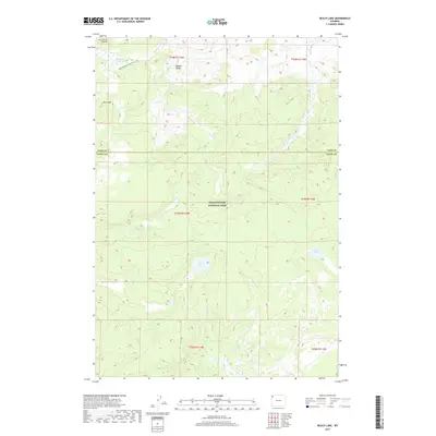
2017 Map of Beach Lake
USGS Topo · Published 2017About this map
Mary Mountain-Nez Perce Trail traverses the high country of Yellowstone National Park, following a path of significant historical movement across the Central Plateau. This 2017 survey details a landscape defined by its geothermal and hydrological complexity, where Highland Hot Springs sits at the northern edge of the quadrangle. The map captures the varied terrain from the broad opening of Hayden Valley to the prominent peak of Mary Mtn.
Find a feature on this map
19 named features on this map. Tap any name to fly to it.
Don’t see what you’re looking for? This feature index may not catch every label — zoom into the map to look around manually.
Map Details
Editions of this 2017 Beach Lake Map
This is the sole edition of this map. No revisions or reprints were ever made.
Other maps of this area

1885 · Lake
USGS Topo · 1:125,000

1885 · Gallatin
USGS Topo · 1:125,000

1885 · Gallatin
USGS Topo · 1:125,000

1886 · Shoshone
USGS Topo · 1:125,000

1886 · Canyon
USGS Topo · 1:125,000

1888 · Shoshone
USGS Topo · 1:125,000

1895 · Shoshone
USGS Topo · 1:125,000

1895 · Canyon
USGS Topo · 1:125,000

1895 · Lake
USGS Topo · 1:125,000

1896 · Lake
USGS Topo · 1:125,000