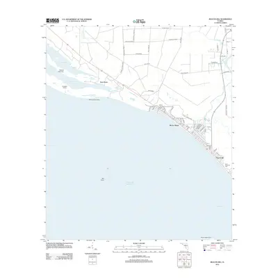
2012 Map of Beacon Hill
USGS Topo · Published 2012About this map
Mexico Beach serves as a primary coastal hub on this 2012 survey, revealing a dense grid of residential streets like Azalea Dr and Nannook Rd running parallel to the shoreline. The landscape is a complex mix of coastal development and significant wetlands, notably the expansive Bear Swamp which dominates the interior. This swampy terrain is navigated by a network of specialized routes including Bull Bayou Rd and the Parkwood Tramroad, hinting at the area's timber and infrastructure history.
Find a feature on this map
54 named features on this map. Tap any name to fly to it.
Don’t see what you’re looking for? This feature index may not catch every label — zoom into the map to look around manually.
Map Details
Editions of this 2012 Beacon Hill Map
This is the sole edition of this map. No revisions or reprints were ever made.
Other maps of this area

1943 · Port St. Joe
USGS Topo · 1:31,680

1943 · Overstreet
USGS Topo · 1:31,680

1943 · Crooked Island
USGS Topo · 1:31,680

1944 · Beacon Hill
USGS Topo · 1:31,680

1944 · Long Point
USGS Topo · 1:31,680

1945 · Allanton
USGS Topo · 1:31,680

1945 · Wetappo Creek
USGS Topo · 1:31,680

1945 · St Joseph Point
USGS Topo · 1:31,680

1947 · Allanton
USGS Topo · 1:25,000

1949 · Apalachicola
USGS Topo · 1:250,000