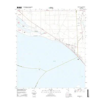
2015 Map of Beacon Hill
USGS Topo · Published 2015About this map
The coastal communities of Mexico Beach and Beacon Hill anchor this survey of the Florida panhandle shoreline, where the county line separates Bay and Gulf counties. The landscape is defined by its complex maritime geography, including the protective Raffield Peninsula and Crooked Island which shelter the waters of Crooked Island Sound. This coastal corridor is marked by a grid of local streets like Maryland Blvd and Oleander Ave, indicating the residential development that lines the white sands of the Gulf. Further inland, the path of the Intracoastal Waterway cuts through the lowlands, supported by numerous small drainages such as Cypress Cr and Joe Lamb Br. The map highlights the transition from the developed beaches to the more open maritime environments of Saint Andrew Point and the beginning of Saint Joseph Bay, showing how transportation routes like Tyndall Pky connect these isolated coastal outposts.
Find a feature on this map
48 named features on this map. Tap any name to fly to it.
Don’t see what you’re looking for? This feature index may not catch every label — zoom into the map to look around manually.
Map Details
Editions of this 2015 Beacon Hill Map
This is the sole edition of this map. No revisions or reprints were ever made.
Other maps of this area

1943 · Port St. Joe
USGS Topo · 1:31,680

1943 · Overstreet
USGS Topo · 1:31,680

1943 · Crooked Island
USGS Topo · 1:31,680

1944 · Beacon Hill
USGS Topo · 1:31,680

1944 · Long Point
USGS Topo · 1:31,680

1945 · Allanton
USGS Topo · 1:31,680

1945 · Wetappo Creek
USGS Topo · 1:31,680

1945 · St Joseph Point
USGS Topo · 1:31,680

1947 · Allanton
USGS Topo · 1:25,000

1949 · Apalachicola
USGS Topo · 1:250,000