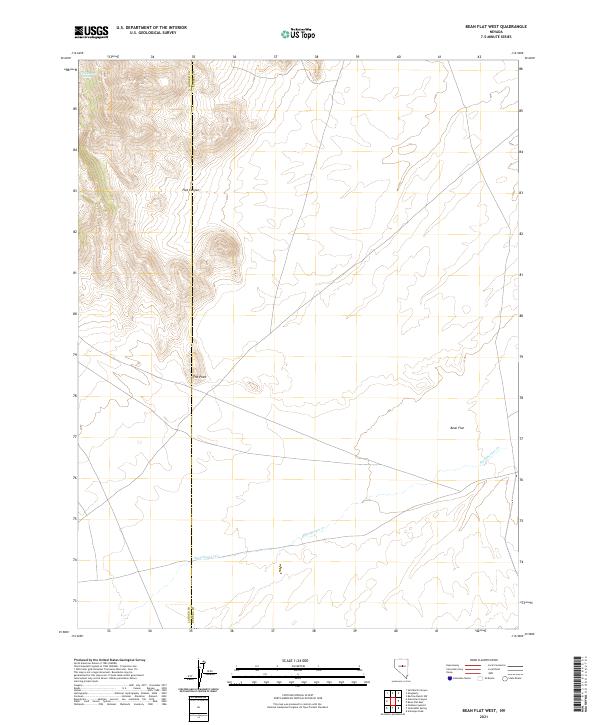
2021 Map of Bean Flat West
USGS Topo · Published 2021About this map
Bean Flat anchors the eastern portion of this high-desert landscape on the border of Lander and Eureka counties. The terrain is defined by the significant elevation change between the basin floor and the surrounding ridges, where features like Flat Canyon and the prominent spur known as The Point overlook the valley. Water is a scarce and vital resource in this arid region, marked by the presence of Dickenson Spring in the northwest and the course of Stoneberger Cr, which winds through the southern reaches. The map illustrates the classic Great Basin pattern of interior drainage, where seasonal watercourses like Stoneberger Cr eventually dissipate into the alkaline soils of the flats. Sparse road networks and surveyed township lines emphasize the open, undeveloped character of this central Nevada territory, where land use remains primarily tied to large-scale ranching and natural resource management.
Find a feature on this map
12 named features on this map. Tap any name to fly to it.
Don’t see what you’re looking for? This feature index may not catch every label — zoom into the map to look around manually.
Map Details
Editions of this 2021 Bean Flat West Map
This is the sole edition of this map. No revisions or reprints were ever made.
Other maps of this area

1926 · Roberts Mountains
USGS Topo · 1:250,000

1929 · Roberts Mountains
USGS Topo · 1:250,000

1955 · Millett
USGS Topo · 1:250,000

1956 · Bartine Ranch
USGS Topo · 1:62,500

1956 · Antelope Peak
USGS Topo · 1:62,500

1956 · Ackerman Canyon
USGS Topo · 1:62,500

1959 · Millett
USGS Topo · 1:250,000

1960 · Hickison Summit
USGS Topo · 1:62,500

1978 · Summit Mountain
USGS Topo · 1:100,000

1979 · Simpson Park Mtns
USGS Topo · 1:100,000