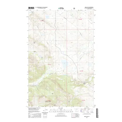
2017 Map of Bean Lake
USGS Topo · Published 2017About this map
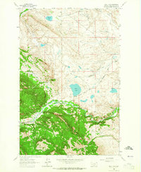
Lewis & Clark National Forest encompasses the southern portion of this landscape, where the terrain rises toward Table Mtn and the high elevations of Joslin Basin and Cuniff Basin. This area is defined by a complex network of water management, visible in the engineered paths of the Dearborn Canal, Cuniff Ditch, and Mosher Ditch. These waterways reflect the historical necessity of diverting the Dearborn River and its tributaries, such as Flat Cr and Cuniff Cr, across the varied topography of Lewis and Clark County.
Find a feature on this map
36 named features on this map. Tap any name to fly to it.
Don’t see what you’re looking for? This feature index may not catch every label — zoom into the map to look around manually.
Map Details
Editions of this 2017 Bean Lake Map
This is the sole edition of this map. No revisions or reprints were ever made.
Other maps of this area

1903 · Coopers Lake
USGS Topo · 1:125,000

1943 · Hogan
USGS Topo · 1:125,000

1955 · Choteau
USGS Topo · 1:250,000

1957 · Choteau
USGS Topo · 1:250,000

1958 · Choteau
USGS Topo · 1:250,000

1962 · Choteau
USGS Topo · 1:250,000
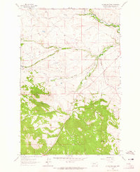
1962 · Johnson Mountain
USGS Topo · 1:24,000
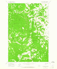
1963 · Blowout Mountain
USGS Topo · 1:24,000
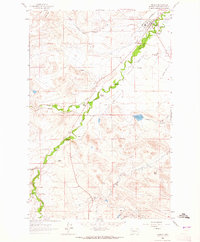
1963 · Augusta
USGS Topo · 1:24,000
1963 · Bean Lake
USGS Topo · 1:24,000