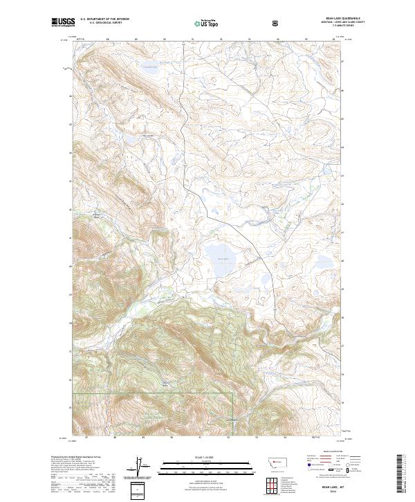
2024 Map of Bean Lake
USGS Topo · Published 2024About this map
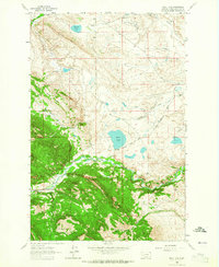
The Dearborn River winds through this Montana landscape, where the high plains meet the eastern front of the Rocky Mountains. The terrain is defined by a complex system of water management and ranching operations, including the Dearborn Canal, Carmichael Ditch, and Cuniff Ditch, which redirect water across the arid basins. These engineering efforts support long-standing local holdings such as Gouchnour Ranch and Krone Ranch. To the southwest, the topography rises sharply into the Lewis & Clark National Forest, characterized by steep features like Harrison Basin Ridge and the Connors Reef. The presence of numerous coulees, such as Hay Coulee, and named basins like Joslin Basin illustrates the drainage patterns that flow toward Bean Lake and the various creek systems that have shaped the local grazing and agricultural history.
Find a feature on this map
43 named features on this map. Tap any name to fly to it.
Don’t see what you’re looking for? This feature index may not catch every label — zoom into the map to look around manually.
Map Details
Editions of this 2024 Bean Lake Map
This is the sole edition of this map. No revisions or reprints were ever made.
Other maps of this area

1903 · Coopers Lake
USGS Topo · 1:125,000

1943 · Hogan
USGS Topo · 1:125,000

1955 · Choteau
USGS Topo · 1:250,000

1957 · Choteau
USGS Topo · 1:250,000

1958 · Choteau
USGS Topo · 1:250,000

1962 · Choteau
USGS Topo · 1:250,000
1962 · Johnson Mountain
USGS Topo · 1:24,000
1963 · Blowout Mountain
USGS Topo · 1:24,000
1963 · Augusta
USGS Topo · 1:24,000
1963 · Bean Lake
USGS Topo · 1:24,000