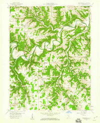
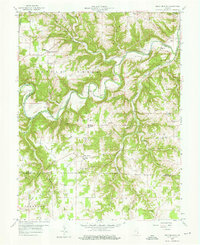
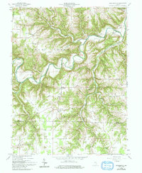
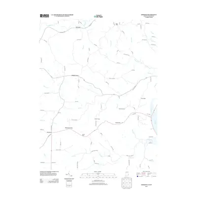
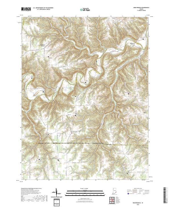
1959 Map of Bear Branch
USGS Topo · Published 1960About this map
Laughery Creek carves a deep, serpentine path through the southeastern Indiana countryside, defining the border between Dearborn and Ohio Counties. This 1959 field-checked survey reveals a landscape where rural life centered on crossroads like Farmers Retreat and Bear Branch. The mapping of small community infrastructure is remarkably dense, capturing dozens of family and church burial grounds such as Mt Hebron Cem, Conaway Cem, and Rand Cem. Local education and faith are anchored by sites like Freedom Sch and St Johns Ch. The presence of Lost Bridge and several fords along the creek indicate the era's reliance on established low-water crossings. From the high elevations of Mexico Ridge to the bottomlands of Mud Lick, the map preserves the mid-century layout of these agricultural townships before modern road improvements altered their historical connections.
Find a feature on this map
56 named features on this map. Tap any name to fly to it.
Don’t see what you’re looking for? This feature index may not catch every label — zoom into the map to look around manually.
Map Details
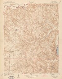
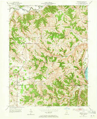
Editions of this 1959 Bear Branch Map
Historical Maps of Milton Through Time
14 maps found
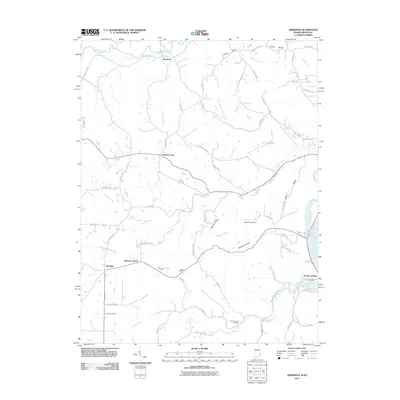
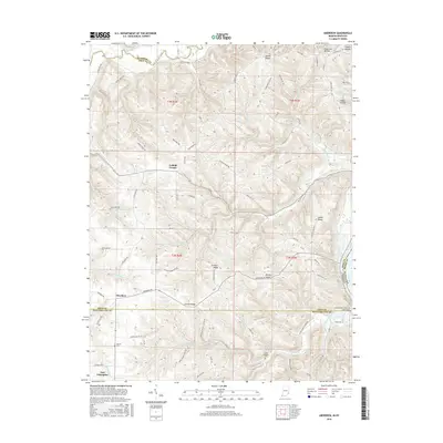
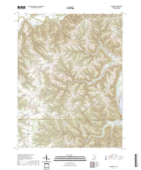
1943 Aberdeen
Ohio County, IN
1953 Aberdeen
Ohio County, IN
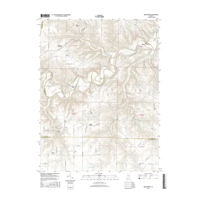
1959 Bear Branch
Ohio County, IN
1965 Aberdeen
Ohio County, IN
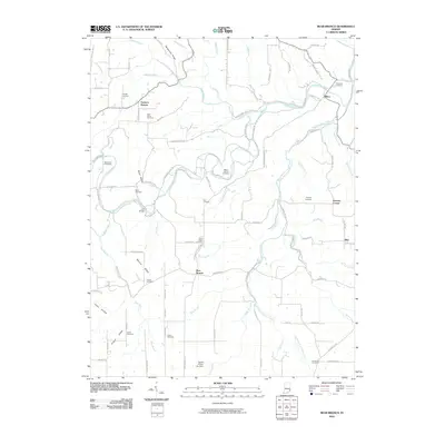
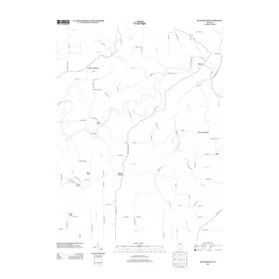
2010 Bear Branch
Ohio County, IN
2011 Aberdeen
Ohio County, IN
2013 Aberdeen
Ohio County, IN
2013 Bear Branch
Ohio County, IN
2016 Aberdeen
Ohio County, IN
2016 Bear Branch
Ohio County, IN
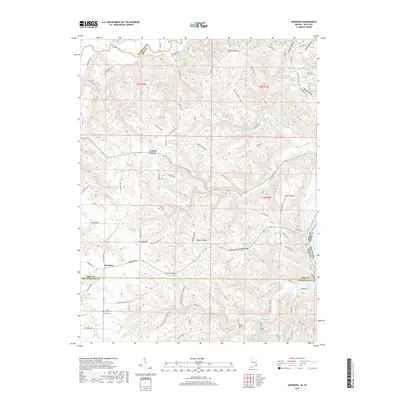
2019 Aberdeen
Ohio County, IN
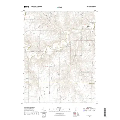
2019 Bear Branch
Ohio County, IN
2022 Aberdeen
Ohio County, IN
2022 Bear Branch
Ohio County, IN