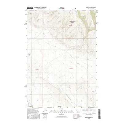
2017 Map of Bear Canyon
USGS Topo · Published 2017About this map
Custer National Forest dominates the northern reaches of this borderlands terrain, where the high ridges of the Montana and Wyoming line descend into a network of steep drainages. The landscape is defined by its deep incisions, notably Bear Canyon and the evocative Petroglyph Canyon, which suggest a long history of human movement through these natural corridors. Along the western edge, King Canyon and Cottonwood Coulee further mark the transition from high timber to the lower basins.
Find a feature on this map
27 named features on this map. Tap any name to fly to it.
Don’t see what you’re looking for? This feature index may not catch every label — zoom into the map to look around manually.
Map Details
Editions of this 2017 Bear Canyon Map
This is the sole edition of this map. No revisions or reprints were ever made.
Other maps of this area

1954 · Billings
USGS Topo · 1:250,000

1955 · Cody
USGS Topo · 1:250,000

1957 · Billings
USGS Topo · 1:250,000

1958 · Billings
USGS Topo · 1:250,000

1958 · Cody
USGS Topo · 1:250,000

1962 · Cody
USGS Topo · 1:250,000

1964 · Big Ice Cave
USGS Topo · 1:24,000

1964 · Red Pryor Mountain
USGS Topo · 1:24,000

1966 · Frannie
USGS Topo · 1:24,000

1966 · Cowley
USGS Topo · 1:24,000