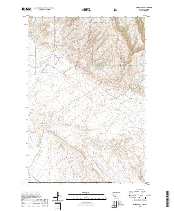
2024 Map of Bear Canyon
USGS Topo · Published 2024About this map
Custer National Forest and the southern slopes of the Pryor Mountains dominate this landscape along the border of Carbon County. The terrain is defined by a series of deep drainages including King Canyon, Cottonwood Coulee, and Petroglyph Canyon, which reveal the geological character of south-central Montana. The network of primitive routes and trails, such as Stockman Trl and Bear Canyon Trl, indicates a region focused on livestock grazing and resource access rather than dense settlement.
Find a feature on this map
27 named features on this map. Tap any name to fly to it.
Don’t see what you’re looking for? This feature index may not catch every label — zoom into the map to look around manually.
Map Details
Editions of this 2024 Bear Canyon Map
This is the sole edition of this map. No revisions or reprints were ever made.
Other maps of this area

1954 · Billings
USGS Topo · 1:250,000

1955 · Cody
USGS Topo · 1:250,000

1957 · Billings
USGS Topo · 1:250,000

1958 · Billings
USGS Topo · 1:250,000

1958 · Cody
USGS Topo · 1:250,000

1962 · Cody
USGS Topo · 1:250,000

1964 · Big Ice Cave
USGS Topo · 1:24,000

1964 · Red Pryor Mountain
USGS Topo · 1:24,000

1966 · Frannie
USGS Topo · 1:24,000

1966 · Cowley
USGS Topo · 1:24,000