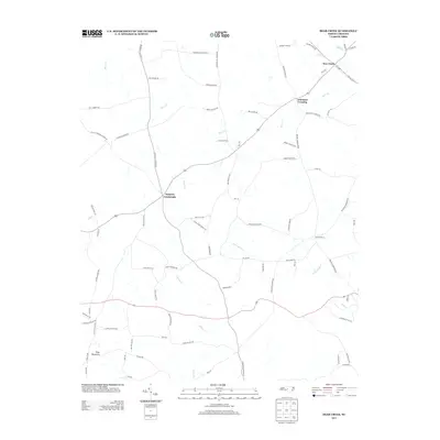
2013 Map of Bear Creek
USGS Topo · Published 2013About this map
Johnsons Crossing and Harpers Crossroads serve as central nodes for this Chatham County landscape, where rural life is organized around a network of family-named roads and small watercourses. The terrain is defined by the drainage of Bear Cr and Little Indian Cr, with Pine Mountain providing a subtle topographical landmark in the southwest. This 2013 record illustrates a long-standing Piedmont settlement pattern where community identity is tied to historical thoroughfares like Providence Church Rd and Bonlee School Rd. Genealogists will find significant value in the detailed naming of rural routes, such as Joe Caviness Rd, Herb Beavers Rd, and Iley Gaines Rd, which help pin family histories to specific stretches of land between the creek forks.
Find a feature on this map
76 named features on this map. Tap any name to fly to it.
Don’t see what you’re looking for? This feature index may not catch every label — zoom into the map to look around manually.
Map Details
Editions of this 2013 Bear Creek Map
This is the sole edition of this map. No revisions or reprints were ever made.
Other maps of this area

1942 · Troy
USGS Topo · 1:125,000

1953 · Raleigh
USGS Topo · 1:250,000

1954 · Raleigh
USGS Topo · 1:250,000

1968 · Coleridge
USGS Topo · 1:24,000

1968 · Bennett
USGS Topo · 1:24,000

1969 · Siler City
USGS Topo · 1:24,000

1970 · Goldston
USGS Topo · 1:24,000

1970 · Bear Creek
USGS Topo · 1:24,000

1970 · Siler City NE
USGS Topo · 1:24,000

1974 · White Hill
USGS Topo · 1:24,000