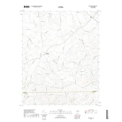
2019 Map of Bear Creek
USGS Topo · Published 2019About this map
Harpers Crossroads serves as a central landmark in this rural landscape, where the road network branches out to connect long-established communities. This 2019 survey documents the transition between the headwaters of Bear Creek and Tysons Creek as they wind through the terrain of Chatham and Moore Counties. The presence of numerous roads named for local families and historic institutions, such as Edwards Hill Church Rd and Bonlee School Rd, provides a clear view of the social geography of the area.
Find a feature on this map
69 named features on this map. Tap any name to fly to it.
Don’t see what you’re looking for? This feature index may not catch every label — zoom into the map to look around manually.
Map Details
Editions of this 2019 Bear Creek Map
This is the sole edition of this map. No revisions or reprints were ever made.
Other maps of this area

1942 · Troy
USGS Topo · 1:125,000

1953 · Raleigh
USGS Topo · 1:250,000

1954 · Raleigh
USGS Topo · 1:250,000

1968 · Coleridge
USGS Topo · 1:24,000

1968 · Bennett
USGS Topo · 1:24,000

1969 · Siler City
USGS Topo · 1:24,000

1970 · Goldston
USGS Topo · 1:24,000

1970 · Bear Creek
USGS Topo · 1:24,000

1970 · Siler City NE
USGS Topo · 1:24,000

1974 · White Hill
USGS Topo · 1:24,000