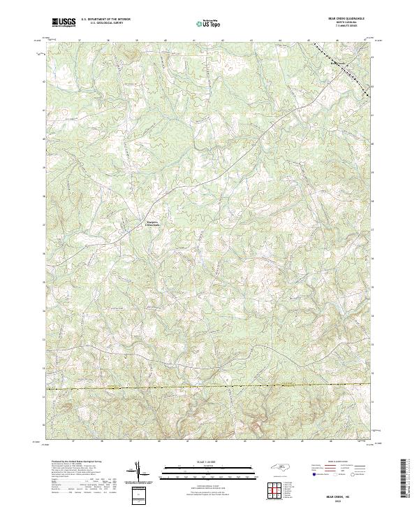
2022 Map of Bear Creek
USGS Topo · Published 2022About this map
Harpers Crossroads and the settlement of Bear Creek anchor this rural landscape in the southern Piedmont of North Carolina. The area is defined by the winding drainages of Bear Cr, Tysons Cr, and Little Indian Cr, which carve through the undulating terrain near the southern terminus of Pine Mtn. The map reveals a dense network of family-named roads and rural connectors such as Edwards Hill Church Rd and Bonlee School Rd, indicating a long-standing pattern of dispersed agricultural homesteads and community hubs.
Find a feature on this map
73 named features on this map. Tap any name to fly to it.
Don’t see what you’re looking for? This feature index may not catch every label — zoom into the map to look around manually.
Map Details
Editions of this 2022 Bear Creek Map
This is the sole edition of this map. No revisions or reprints were ever made.
Other maps of this area

1942 · Troy
USGS Topo · 1:125,000

1953 · Raleigh
USGS Topo · 1:250,000

1954 · Raleigh
USGS Topo · 1:250,000

1968 · Coleridge
USGS Topo · 1:24,000

1968 · Bennett
USGS Topo · 1:24,000

1969 · Siler City
USGS Topo · 1:24,000

1970 · Goldston
USGS Topo · 1:24,000

1970 · Bear Creek
USGS Topo · 1:24,000

1970 · Siler City NE
USGS Topo · 1:24,000

1974 · White Hill
USGS Topo · 1:24,000