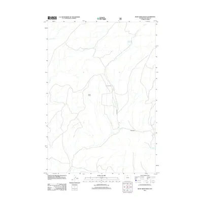
2012 Map of Bear Creek Ranch
USGS Topo · Published 2012About this map
Bear Creek Ranch sits at the heart of this Big Horn County landscape, where the drainage of Bear Cr and its tributaries define the local geography. This 2012 survey illustrates the reliance on water management in this part of Wyoming, anchored by the Lampman Reservoir in the north and the Leavitt Reservoir to the southeast. The terrain is punctuated by distinctive geological markers such as Black Butte and the prominent Eagle Rock, which serve as natural landmarks for the surrounding ranching country.
Find a feature on this map
9 named features on this map. Tap any name to fly to it.
Don’t see what you’re looking for? This feature index may not catch every label — zoom into the map to look around manually.
Map Details
Editions of this 2012 Bear Creek Ranch Map
This is the sole edition of this map. No revisions or reprints were ever made.
Other maps of this area

1898 · Bald Mountain
USGS Topo · 1:125,000

1901 · Bald Mountain
USGS Topo · 1:125,000

1955 · Cody
USGS Topo · 1:250,000

1955 · Sheridan
USGS Topo · 1:250,000

1958 · Cody
USGS Topo · 1:250,000

1958 · Sheridan
USGS Topo · 1:250,000

1960 · Medicine Wheel
USGS Topo · 1:24,000

1960 · Devils Kitchen
USGS Topo · 1:24,000

1960 · Shell
USGS Topo · 1:24,000

1960 · Bear Creek Ranch
USGS Topo · 1:24,000