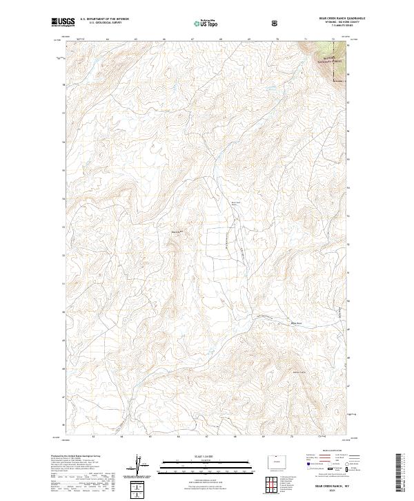
2021 Map of Bear Creek Ranch
USGS Topo · Published 2021About this map
Bear Creek Ranch serves as a central landmark in this high-altitude landscape of Big Horn County, where the plains meet the rising eastern edge of the Bighorn National Forest. The map documents a complex drainage network vital to high-desert ranching, centered on the various forks of Bear Creek. To the north, Lampman Reservoir captures runoff from Dry Bear Creek, while the southern terrain is defined by the canyon of Crystal Creek. This 2021 survey illustrates how modern access via Bear Creek Ranch Road and Crystal Creek Road follows traditional topographies, linking isolated features like the prominent Black Butte and Eagle Rock. These named landmarks, along with Porter Gulch, provide essential reference points for navigating the expansive, open range land typical of northern Wyoming's basin country.
Find a feature on this map
18 named features on this map. Tap any name to fly to it.
Don’t see what you’re looking for? This feature index may not catch every label — zoom into the map to look around manually.
Map Details
Editions of this 2021 Bear Creek Ranch Map
This is the sole edition of this map. No revisions or reprints were ever made.
Other maps of this area

1898 · Bald Mountain
USGS Topo · 1:125,000

1901 · Bald Mountain
USGS Topo · 1:125,000

1955 · Cody
USGS Topo · 1:250,000

1955 · Sheridan
USGS Topo · 1:250,000

1958 · Cody
USGS Topo · 1:250,000

1958 · Sheridan
USGS Topo · 1:250,000

1960 · Medicine Wheel
USGS Topo · 1:24,000

1960 · Devils Kitchen
USGS Topo · 1:24,000

1960 · Shell
USGS Topo · 1:24,000

1960 · Bear Creek Ranch
USGS Topo · 1:24,000