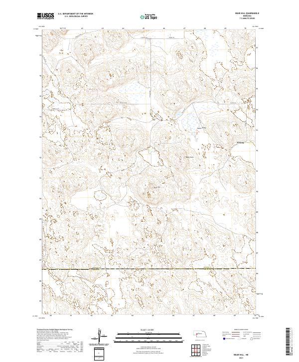
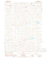
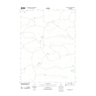
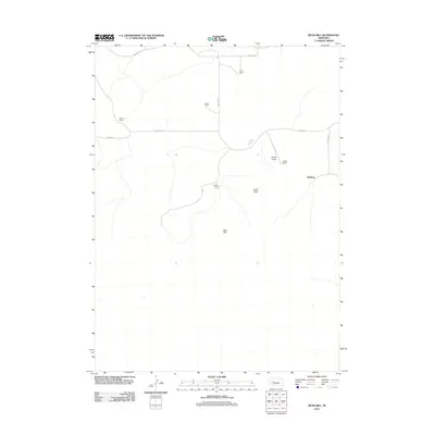
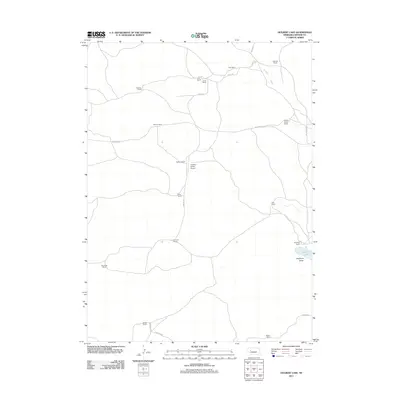
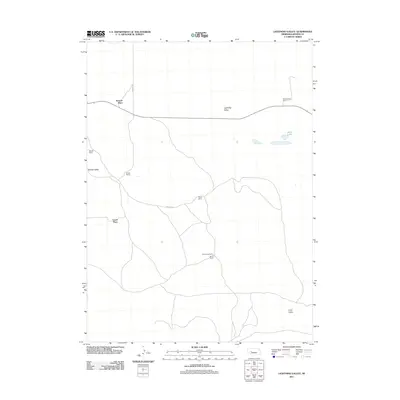
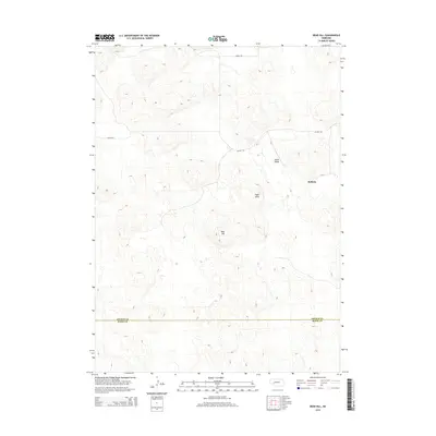
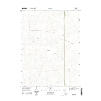
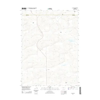
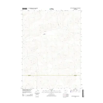
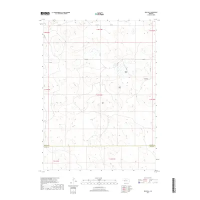
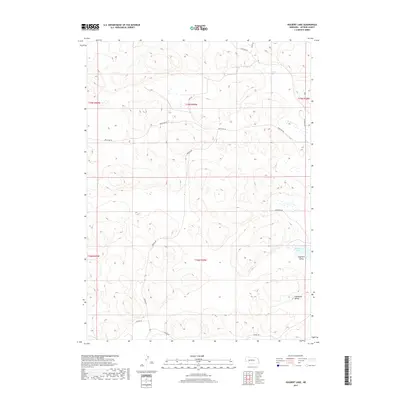
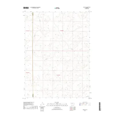
2021 Map of Bear Hill
USGS Topo · Published 2021About this map
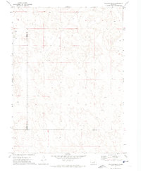
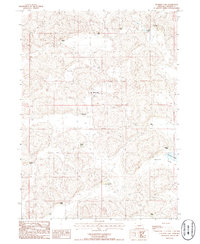
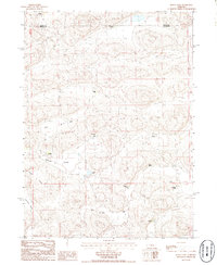
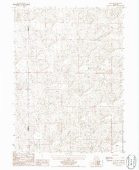
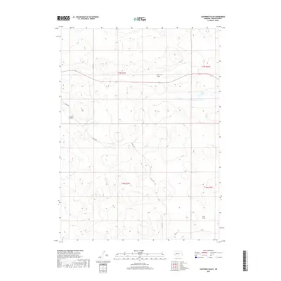
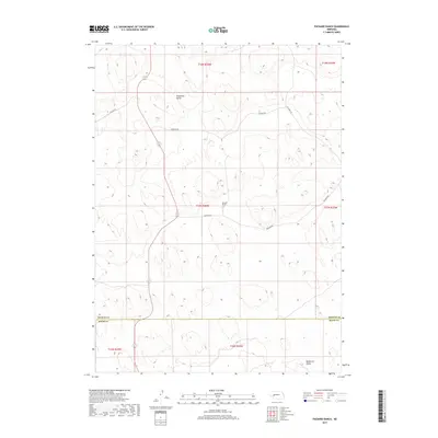
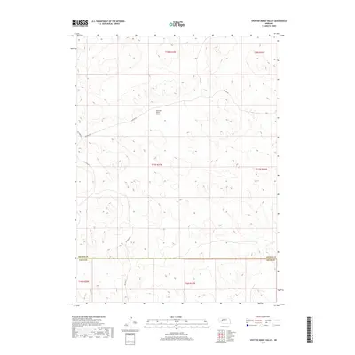
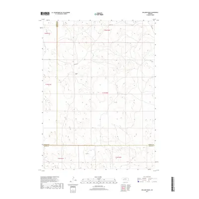
Indian Valley and the small settlement of McKeag characterize this portion of the Nebraska Sandhills during the early 2020s. The landscape is defined by distinct topographical markers such as Bear Hill and Eagle Point, which rise amidst a complex network of local roads. These routes, including N Wilson Rd and Lewellen Rd, follow the natural contours of the terrain rather than a strict grid, reflecting the adaptations required for ranching and navigation in this unique geographic region. The southern edge of the sheet is marked by the Arthur Co Keith Co boundary, illustrating the administrative divisions of these sparsely populated counties. This survey provides a precise look at the rural infrastructure and land management patterns of the modern era, preserving the locations of family-named landmarks and local thoroughfares like McKeag Dr.
Find a feature on this map
20 named features on this map. Tap any name to fly to it.
Don’t see what you’re looking for? This feature index may not catch every label — zoom into the map to look around manually.
Map Details
Editions of this 2021 Bear Hill Map
This is the sole edition of this map. No revisions or reprints were ever made.
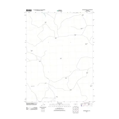
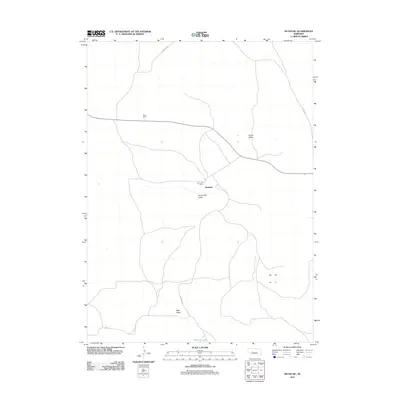
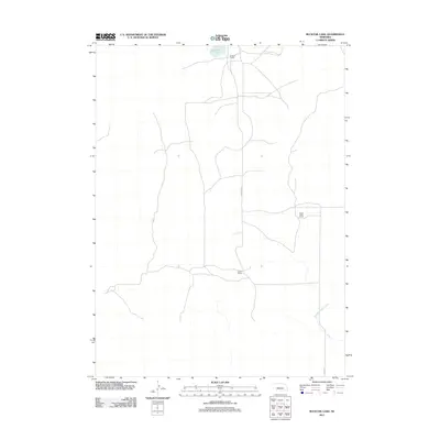
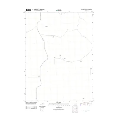
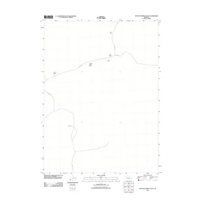
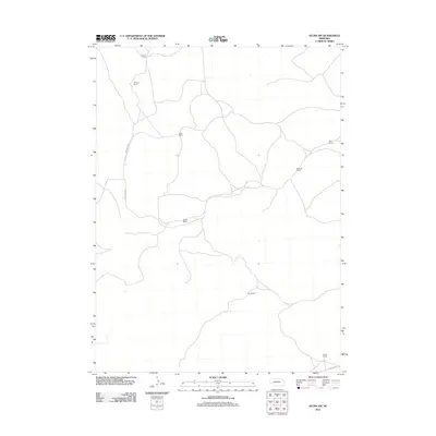
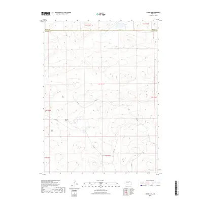
Historical Maps of McKeag Through Time
71 maps found
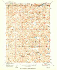
1950 Velma
Arthur County, NE
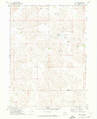
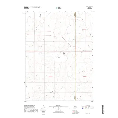
1971 Bear Hill
Arthur County, NE

1971 Packard Ranch
Arthur County, NE
1971 Spotted Horse Valley
Arthur County, NE
1971 Williams Ranch
Arthur County, NE
1972 Bucktail Lake
Arthur County, NE
1985 Bean Soup Lake
Arthur County, NE
1985 Bucktail
Arthur County, NE
1985 K C Lake
Arthur County, NE
1985 Lena
Arthur County, NE
1985 Lightning Valley
Arthur County, NE
1986 Bourquim Hill
Arthur County, NE
1986 Hulbert Lake
Arthur County, NE
1986 Jensen Lake
Arthur County, NE
1986 Velma SW
Arthur County, NE
2011 Bean Soup Lake
Arthur County, NE
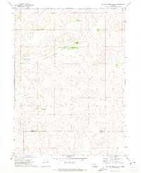
2011 Bear Hill
Arthur County, NE
2011 Bourquim Hill
Arthur County, NE
2011 Bucktail
Arthur County, NE
2011 Bucktail Lake
Arthur County, NE
2011 Hulbert Lake
Arthur County, NE
2011 Jensen Lake
Arthur County, NE
2011 K C Lake
Arthur County, NE
2011 Lena
Arthur County, NE
2011 Lightning Valley
Arthur County, NE
2011 Packard Ranch
Arthur County, NE
2011 Spotted Horse Valley
Arthur County, NE
2011 Velma SW
Arthur County, NE
2011 Williams Ranch
Arthur County, NE
2014 Bean Soup Lake
Arthur County, NE
2014 Bear Hill
Arthur County, NE
2014 Bourquim Hill
Arthur County, NE
2014 Bucktail
Arthur County, NE
2014 Bucktail Lake
Arthur County, NE
2014 Hulbert Lake
Arthur County, NE
2014 Jensen Lake
Arthur County, NE
2014 K C Lake
Arthur County, NE
2014 Lena
Arthur County, NE
2014 Lightning Valley
Arthur County, NE
2014 Packard Ranch
Arthur County, NE
2014 Spotted Horse Valley
Arthur County, NE
2014 Velma SW
Arthur County, NE
2014 Williams Ranch
Arthur County, NE
2017 Bean Soup Lake
Arthur County, NE
2017 Bear Hill
Arthur County, NE
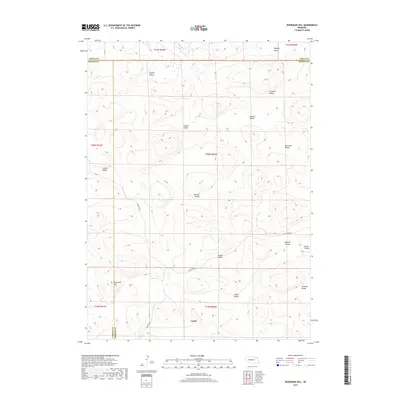
2017 Bourquim Hill
Arthur County, NE
2017 Bucktail
Arthur County, NE
2017 Bucktail Lake
Arthur County, NE
2017 Hulbert Lake
Arthur County, NE
2017 Jensen Lake
Arthur County, NE
2017 K C Lake
Arthur County, NE
2017 Lena
Arthur County, NE
2017 Lightning Valley
Arthur County, NE
2017 Packard Ranch
Arthur County, NE
2017 Spotted Horse Valley
Arthur County, NE
2017 Velma SW
Arthur County, NE
2017 Williams Ranch
Arthur County, NE
2021 Bean Soup Lake
Arthur County, NE
2021 Bear Hill
Arthur County, NE
2021 Bourquim Hill
Arthur County, NE
2021 Bucktail
Arthur County, NE
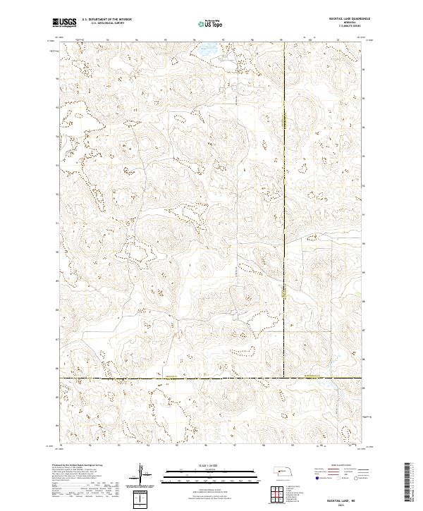
2021 Bucktail Lake
Arthur County, NE
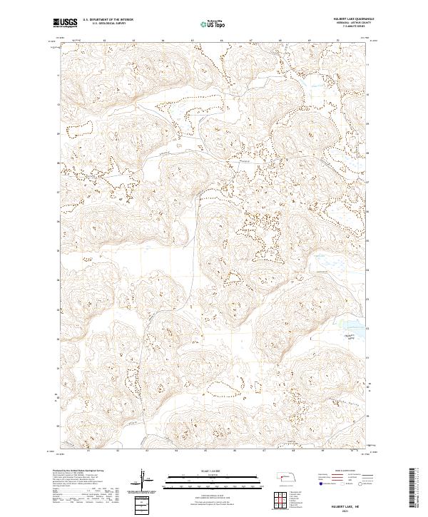
2021 Hulbert Lake
Arthur County, NE
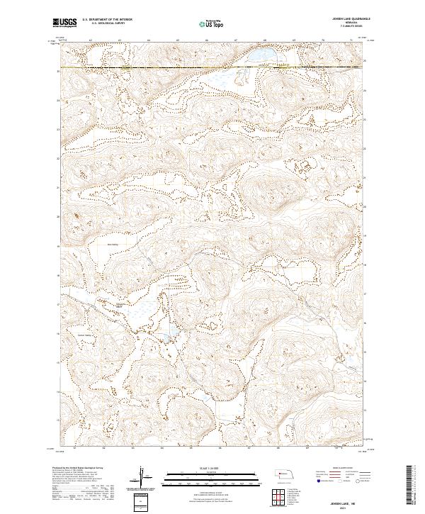
2021 Jensen Lake
Arthur County, NE
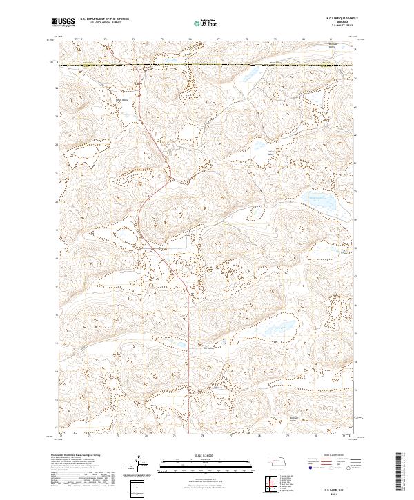
2021 K C Lake
Arthur County, NE
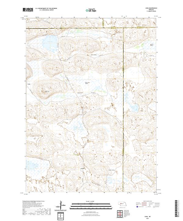
2021 Lena
Arthur County, NE
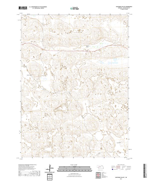
2021 Lightning Valley
Arthur County, NE
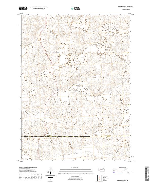
2021 Packard Ranch
Arthur County, NE
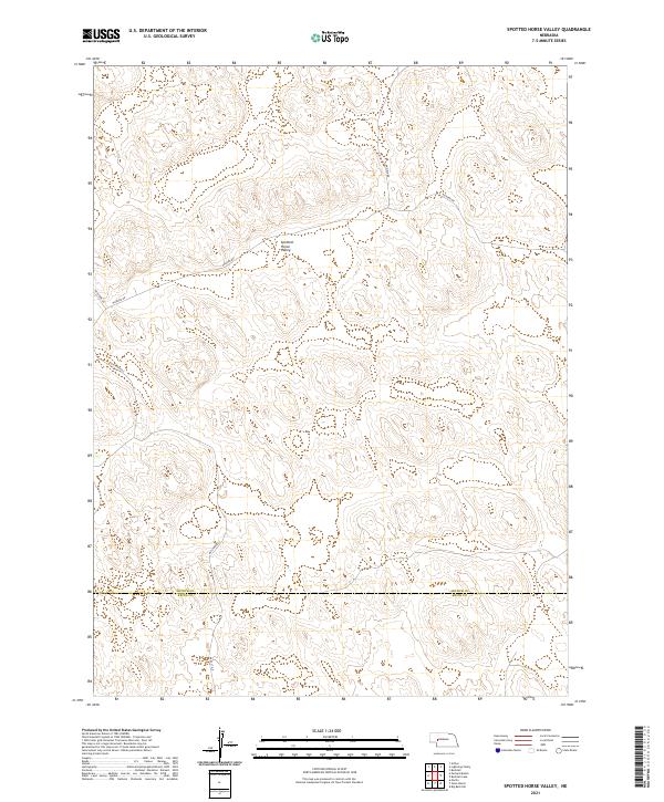
2021 Spotted Horse Valley
Arthur County, NE
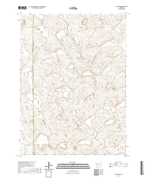
2021 Velma SW
Arthur County, NE
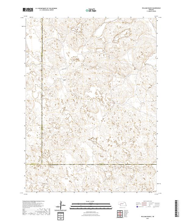
2021 Williams Ranch
Arthur County, NE