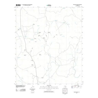
2010 Map of Bear Hollow
USGS Topo · Published 2010About this map
Montgomery Cemetery sits near the southern edge of this landscape, serving as a silent witness to the generations who worked this portion of San Saba County. The terrain is defined by a network of ranching improvements and seasonal water sources, where named landmarks like Horse Mountain and Blackjack Hill rise above the drainage basins of Cherokee Creek and Buffalo Creek. The reliance on local water management is evident through numerous specialized features, including the Bear Hollow Windmill, Section Tank, and Rattlesnake Pond, which supported the livestock operations of the Flying V Ranch. The road network, consisting of routes like E Chappel Rd and Co Rd 403, follows the natural contours of the land, connecting isolated flats like York Flat to the broader cattle country of central Texas.
Find a feature on this map
50 named features on this map. Tap any name to fly to it.
Don’t see what you’re looking for? This feature index may not catch every label — zoom into the map to look around manually.
Map Details
Editions of this 2010 Bear Hollow Map
This is the sole edition of this map. No revisions or reprints were ever made.
Other maps of this area

1885 · San Saba
USGS Topo · 1:125,000

1887 · Llano
USGS Topo · 1:125,000

1894 · San Saba
USGS Topo · 1:125,000

1894 · Llano
USGS Topo · 1:125,000

1904 · Llano
USGS Topo · 1:125,000

1909 · Llano
USGS Topo · 1:125,000

1918 · Llano
USGS Topo · 1:125,000

1925 · San Saba 4-a
USGS Topo · 1:48,000

1931 · Bend
USGS Topo · 1:62,500

1954 · Brownwood
USGS Topo · 1:250,000