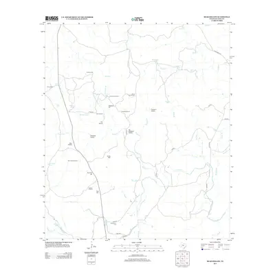
2012 Map of Bear Hollow
USGS Topo · Published 2012About this map
Montgomery Cem stands as a quiet landmark in the southern reaches of this San Saba County landscape, situated near the intersection of several local routes. The area is defined by a dense network of windmills and water tanks essential for ranching operations, such as Bear Hollow Windmill, South Windmill, and Highway Windmill. These scattered water sources support the livestock economy around the Flying V Ranch and across the broader territory.
Find a feature on this map
53 named features on this map. Tap any name to fly to it.
Don’t see what you’re looking for? This feature index may not catch every label — zoom into the map to look around manually.
Map Details
Editions of this 2012 Bear Hollow Map
This is the sole edition of this map. No revisions or reprints were ever made.
Other maps of this area

1885 · San Saba
USGS Topo · 1:125,000

1887 · Llano
USGS Topo · 1:125,000

1894 · San Saba
USGS Topo · 1:125,000

1894 · Llano
USGS Topo · 1:125,000

1904 · Llano
USGS Topo · 1:125,000

1909 · Llano
USGS Topo · 1:125,000

1918 · Llano
USGS Topo · 1:125,000

1925 · San Saba 4-a
USGS Topo · 1:48,000

1931 · Bend
USGS Topo · 1:62,500

1954 · Brownwood
USGS Topo · 1:250,000