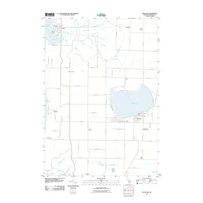
2011 Map of Bear Lake
USGS Topo · Published 2011About this map
Bear Lake sits at the heart of this coastal Michigan landscape, its shoreline dotted with recreational landmarks like Hopkins Park Campground and the Country Highlands Golf Course. Near the Lake Michigan coast, the village of Arcadia is situated between the larger lake and the waters of Arcadia Lake, serving as a focal point for the surrounding township. The area's settlement history is documented through numerous burial grounds, including Conway Cemetery, Onekama Cemetery, and the Lakeview Cemetery near the south shore of the main lake.
Find a feature on this map
94 named features on this map. Tap any name to fly to it.
Don’t see what you’re looking for? This feature index may not catch every label — zoom into the map to look around manually.
Map Details
Editions of this 2011 Bear Lake Map
This is the sole edition of this map. No revisions or reprints were ever made.
Other maps of this area

1954 · Manitowoc
USGS Topo · 1:250,000

1956 · Onekama
USGS Topo · 1:62,500

1956 · Bar Lake
USGS Topo · 1:62,500

1956 · Frankfort
USGS Topo · 1:62,500

1958 · Manitowoc
USGS Topo · 1:250,000

1976 · Frankfort SE
USGS Topo · 1:24,000

1976 · Onekama SE
USGS Topo · 1:24,000

1976 · Frankfort SW
USGS Topo · 1:24,000

1976 · Onekama NW
USGS Topo · 1:24,000

1976 · Onekama SW
USGS Topo · 1:24,000