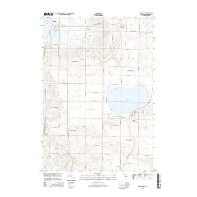
2014 Map of Bear Lake
USGS Topo · Published 2014About this map
Arcadia and the shoreline of Lake Michigan anchor the western edge of this coastal landscape, where the terrain transitions from the beach to the inland waters of Bear Lake. The 2014 survey documents a network of rural settlements and family-named landmarks connected by the Northwood Hwy. Genealogists will find a high density of burial grounds throughout the townships, including Pilgrim Home Cem, Conway Cem, and the Lakeview Cem near the southern shore of the lake.
Find a feature on this map
101 named features on this map. Tap any name to fly to it.
Don’t see what you’re looking for? This feature index may not catch every label — zoom into the map to look around manually.
Map Details
Editions of this 2014 Bear Lake Map
This is the sole edition of this map. No revisions or reprints were ever made.
Other maps of this area

1954 · Manitowoc
USGS Topo · 1:250,000

1956 · Onekama
USGS Topo · 1:62,500

1956 · Bar Lake
USGS Topo · 1:62,500

1956 · Frankfort
USGS Topo · 1:62,500

1958 · Manitowoc
USGS Topo · 1:250,000

1976 · Frankfort SE
USGS Topo · 1:24,000

1976 · Onekama SE
USGS Topo · 1:24,000

1976 · Frankfort SW
USGS Topo · 1:24,000

1976 · Onekama NW
USGS Topo · 1:24,000

1976 · Onekama SW
USGS Topo · 1:24,000