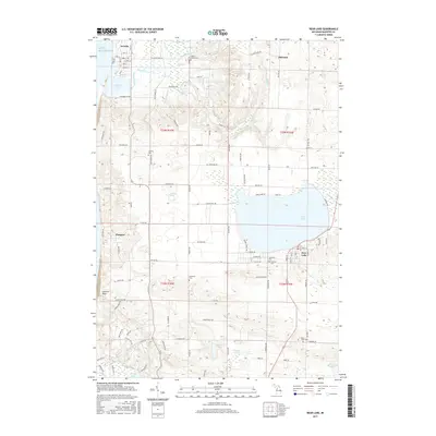
2017 Map of Bear Lake
USGS Topo · Published 2017About this map
Arcadia and the surrounding township appear here along the Lake Michigan shoreline, defined by a series of inland waters and small agricultural settlements. The landscape transitions from the coastal dunes near Arcadia Lake to the prominent freshwater basin of Bear Lake further inland. A dense network of rural roads, such as Glovers Lake Rd and Saint Pierre Rd, connects dispersed communities like Malcolm and Pierport.
Find a feature on this map
113 named features on this map. Tap any name to fly to it.
Don’t see what you’re looking for? This feature index may not catch every label — zoom into the map to look around manually.
Map Details
Editions of this 2017 Bear Lake Map
This is the sole edition of this map. No revisions or reprints were ever made.
Other maps of this area

1954 · Manitowoc
USGS Topo · 1:250,000

1956 · Onekama
USGS Topo · 1:62,500

1956 · Bar Lake
USGS Topo · 1:62,500

1956 · Frankfort
USGS Topo · 1:62,500

1958 · Manitowoc
USGS Topo · 1:250,000

1976 · Frankfort SE
USGS Topo · 1:24,000

1976 · Onekama SE
USGS Topo · 1:24,000

1976 · Frankfort SW
USGS Topo · 1:24,000

1976 · Onekama NW
USGS Topo · 1:24,000

1976 · Onekama SW
USGS Topo · 1:24,000