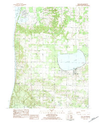
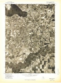
1983 Map of Bear Lake
USGS Topo · Published 1984About this map
Arcadia and the coastal village of Pierport anchor this western Michigan landscape along the shores of Lake Michigan during the early 1980s. The map illustrates a region defined by its hydrography, where Arcadia Lake and the large expanse of Bear Lake are fed by a complex network of tributaries including Bowens Creek, Toohey Creek, and Ware Creek. Much of the southern and eastern terrain falls within the Manistee National Forest, indicating a land use balance between protected timberlands and the established townships of Arcadia, Pleasanton, and Onekama.
Find a feature on this map
46 named features on this map. Tap any name to fly to it.
Don’t see what you’re looking for? This feature index may not catch every label — zoom into the map to look around manually.
Map Details
Editions of this 1983 Bear Lake Map
This is the sole edition of this map. No revisions or reprints were ever made.
Other maps of this area

1954 · Manitowoc
USGS Topo · 1:250,000
1956 · Onekama
USGS Topo · 1:62,500
1956 · Bar Lake
USGS Topo · 1:62,500
1956 · Frankfort
USGS Topo · 1:62,500

1958 · Manitowoc
USGS Topo · 1:250,000
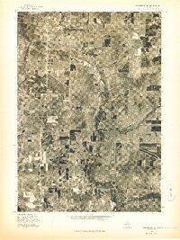
1976 · Frankfort SE
USGS Topo · 1:24,000
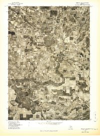
1976 · Onekama SE
USGS Topo · 1:24,000
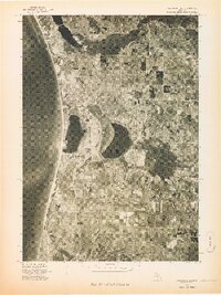
1976 · Frankfort SW
USGS Topo · 1:24,000
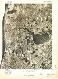
1976 · Onekama NW
USGS Topo · 1:24,000
1976 · Onekama SW
USGS Topo · 1:24,000