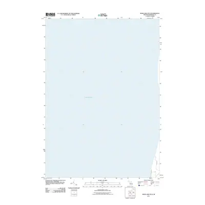
2011 Map of Bear Lake OE W
USGS Topo · Published 2011About this map
Lake Michigan dominates this coastal survey, where the deep waters of the Great Lakes meet the western edge of Manistee County. Along the southeastern shoreline, the map identifies a prominent Dune, a hallmark of the region's shoreline geography. The very edge of the coastal development in Onekama Township is represented by the termination of Ivanhoe Dr and Lakeside Ave, marking the boundary between the shoreline residential grid and the open water. This 2011 edition provides a clear record of the lakefront’s reach before further natural or man-made shifts in the sandy coastal shelf.
Find a feature on this map
4 named features on this map. Tap any name to fly to it.
Don’t see what you’re looking for? This feature index may not catch every label — zoom into the map to look around manually.
Map Details
Editions of this 2011 Bear Lake OE W Map
This is the sole edition of this map. No revisions or reprints were ever made.
Other maps of this area

1954 · Manitowoc
USGS Topo · 1:250,000

1956 · Onekama
USGS Topo · 1:62,500

1956 · Bar Lake
USGS Topo · 1:62,500

1956 · Frankfort
USGS Topo · 1:62,500

1958 · Manitowoc
USGS Topo · 1:250,000

1976 · Frankfort SW
USGS Topo · 1:24,000

1976 · Onekama NW
USGS Topo · 1:24,000

1976 · Onekama SW
USGS Topo · 1:24,000
1976 · Bar Lake SE
USGS Topo · 1:24,000
1982 · Onekama
USGS Topo · 1:25,000