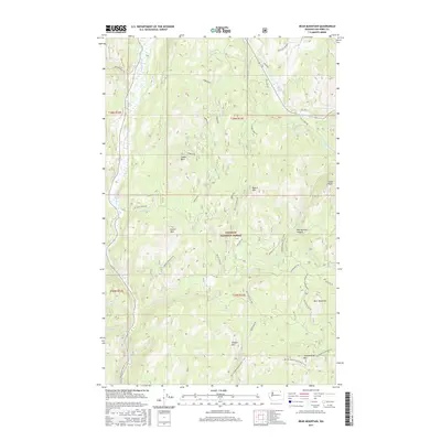
2017 Map of Bear Mountain
USGS Topo · Published 2017About this map
The Sanpoil River valley carves through the western edge of this landscape, dominated by the high elevations of the Colville National Forest. The terrain is defined by a series of prominent peaks and ridgelines, including Bear Mountain, Thirteenmile Mtn, and the distinctive Camel Back formation. A network of Forest Service roads, such as Ninemile Rd and Thirteenmile Rd, provides access to these heights, while the Pacific NW National Scenic Trail traverses the southern ridges. Notable geological features like the steep Gibralter slopes and the uniquely named Refrigerator Canyon suggest the dramatic vertical relief of this section of Ferry County. Tributaries like McMann Cr and Ninemile Cr feed into the primary river system, reflecting the drainage patterns of the Kettle River Range.
Find a feature on this map
41 named features on this map. Tap any name to fly to it.
Don’t see what you’re looking for? This feature index may not catch every label — zoom into the map to look around manually.
Map Details
Editions of this 2017 Bear Mountain Map
This is the sole edition of this map. No revisions or reprints were ever made.
Other maps of this area

1904 · Republic
USGS Topo · 1:125,000

1948 · Republic
USGS Topo · 1:62,500

1951 · Wauconda
USGS Topo · 1:62,500

1951 · Republic
USGS Topo · 1:62,500

1953 · Seventeenmile Mtn.
USGS Topo · 1:62,500

1953 · Bald Knob
USGS Topo · 1:62,500

1954 · Okanogan
USGS Topo · 1:250,000

1958 · Okanogan
USGS Topo · 1:250,000

1958 · Aeneas
USGS Topo · 1:62,500

1984 · Republic
USGS Topo · 1:100,000