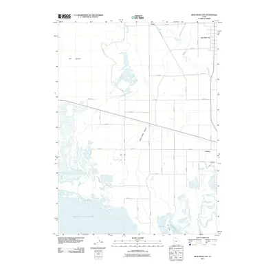
2011 Map of Bear River City
USGS Topo · Published 2011About this map
Bear River Valley unfolds across this northern Utah landscape, where the Malad River and Bear River converge before entering the northern reaches of the Great Salt Lake. The settlement of Bear River City sits at the northeastern edge of the quadrangle, connected to the southern town of Corinne by a network of rural roads such as N 5200 W and N 5600 W. This area is characterized by the transition from irrigated valley floors to the marshy inlets of North Bay and East Bay.
Find a feature on this map
41 named features on this map. Tap any name to fly to it.
Don’t see what you’re looking for? This feature index may not catch every label — zoom into the map to look around manually.
Map Details
Editions of this 2011 Bear River City Map
This is the sole edition of this map. No revisions or reprints were ever made.
Other maps of this area

1954 · Whistler Canal
USGS Topo · 1:24,000

1954 · Public Shooting Grounds
USGS Topo · 1:24,000

1954 · Brigham City
USGS Topo · 1:250,000

1955 · Mouth of Bear River
USGS Topo · 1:24,000

1955 · Bear River City
USGS Topo · 1:24,000

1955 · Willard
USGS Topo · 1:24,000

1955 · Brigham City
USGS Topo · 1:24,000

1958 · Brigham City
USGS Topo · 1:250,000

1961 · Thatcher Mountain
USGS Topo · 1:62,500

1961 · Honeyville
USGS Topo · 1:24,000