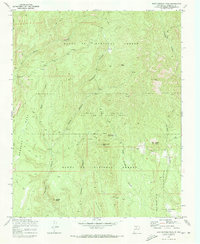
1970 Map of Bear Springs Peak
USGS Topo · Published 1973About this map
The Santa Fe National Forest landscapes around Bear Springs Peak show a 1970s terrain defined by deep canyon systems and specialized industrial outposts. The map documents the resource-heavy activity in the area, noting several Strip Mines, a Quarry, and various prospects scattered across the high country near Eliza Seligman Camp. These markers suggest a period of active geological exploration and extraction within the national forest boundaries.
Find a feature on this map
35 named features on this map. Tap any name to fly to it.
Don’t see what you’re looking for? This feature index may not catch every label — zoom into the map to look around manually.
Map Details
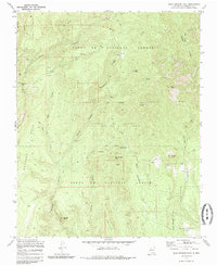
Editions of this 1970 Bear Springs Peak Map
2 editions found
Other maps of this area

1890 · Jemes
USGS Topo · 1:125,000

1892 · Jemes
USGS Topo · 1:125,000

1892 · Santa Clara
USGS Topo · 1:125,000

1937 · Jemez Springs
USGS Topo · 1:48,000

1943 · Jemez
USGS Topo · 1:62,500

1944 · Jemez Springs
USGS Topo · 1:62,500

1952 · Jemez Springs
USGS Topo · 1:62,500

1952 · Jemez
USGS Topo · 1:62,500

1953 · Bland
USGS Topo · 1:24,000

1953 · Santo Domingo Pueblo SW
USGS Topo · 1:24,000