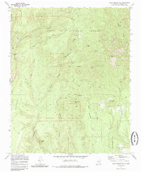
1970 Map of Bear Springs Peak
USGS Topo · Published 1985About this map
Santa Fe National Forest land defines this portion of Sandoval County, where rugged volcanic topography and canyon systems create a complex network of drainages and peaks. The map reveals the administrative and cultural layers of the landscape, marking boundaries for Santo Domingo Pueblo and Canada de Cochiti (Tribal Indian Land of Jemez Pueblo). Extractive industry is evident through several Strip Mines and a Quarry near Elias Seligman Camp. High points like Ruiz Peak and Bear Springs Peak overlook deep cuts including Paliza Canyon and Guacamalla Canyon. The presence of the Bear Springs Guard Station and established routes like the Springs Trail suggest a landscape managed for both resource extraction and conservation during this mid-century period.
Find a feature on this map
32 named features on this map. Tap any name to fly to it.
Don’t see what you’re looking for? This feature index may not catch every label — zoom into the map to look around manually.
Map Details
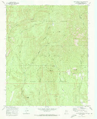
Editions of this 1970 Bear Springs Peak Map
2 editions found
Other maps of this area

1890 · Jemes
USGS Topo · 1:125,000

1892 · Jemes
USGS Topo · 1:125,000

1892 · Santa Clara
USGS Topo · 1:125,000

1937 · Jemez Springs
USGS Topo · 1:48,000

1943 · Jemez
USGS Topo · 1:62,500

1944 · Jemez Springs
USGS Topo · 1:62,500

1952 · Jemez Springs
USGS Topo · 1:62,500

1952 · Jemez
USGS Topo · 1:62,500

1953 · Bland
USGS Topo · 1:24,000

1953 · Santo Domingo Pueblo SW
USGS Topo · 1:24,000