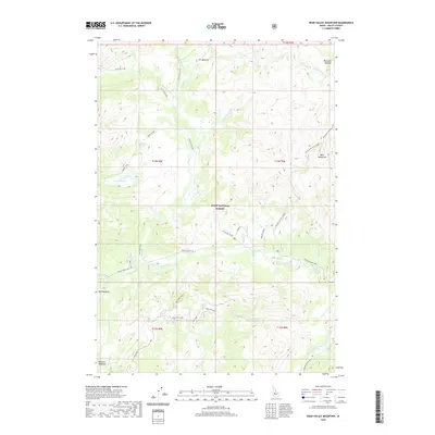
2020 Map of Bear Valley Mountain
USGS Topo · Published 2020About this map
Boise National Forest dominates this landscape, where high mountain meadows and complex drainages define the remote terrain of Valley County. The upper reaches of Elk Creek and its many tributaries, including W Fork Elk Cr and Little E Fork Elk Cr, carve through the topography, creating the moist environments for Elk Meadow, Corduroy Meadows, and Crane Meadow. These meadows represent critical open spaces within the dense forest canopy, often serving as traditional grazing lands or points of reference for early travelers through the central Idaho wilderness.
Find a feature on this map
41 named features on this map. Tap any name to fly to it.
Don’t see what you’re looking for? This feature index may not catch every label — zoom into the map to look around manually.
Map Details
Editions of this 2020 Bear Valley Mountain Map
This is the sole edition of this map. No revisions or reprints were ever made.
Other maps of this area

1891 · Bear Valley
USGS Topo · 1:125,000

1893 · Bear Valley
USGS Topo · 1:125,000

1909 · Garden Valley
USGS Topo · 1:125,000

1953 · Deadwood Reservoir
USGS Topo · 1:62,500

1954 · Warm Lake
USGS Topo · 1:62,500

1957 · Challis
USGS Topo · 1:250,000

1960 · Challis
USGS Topo · 1:250,000

1961 · Chinook Mtn
USGS Topo · 1:62,500

1963 · Challis
USGS Topo · 1:250,000

1972 · Bull Trout Point
USGS Topo · 1:24,000