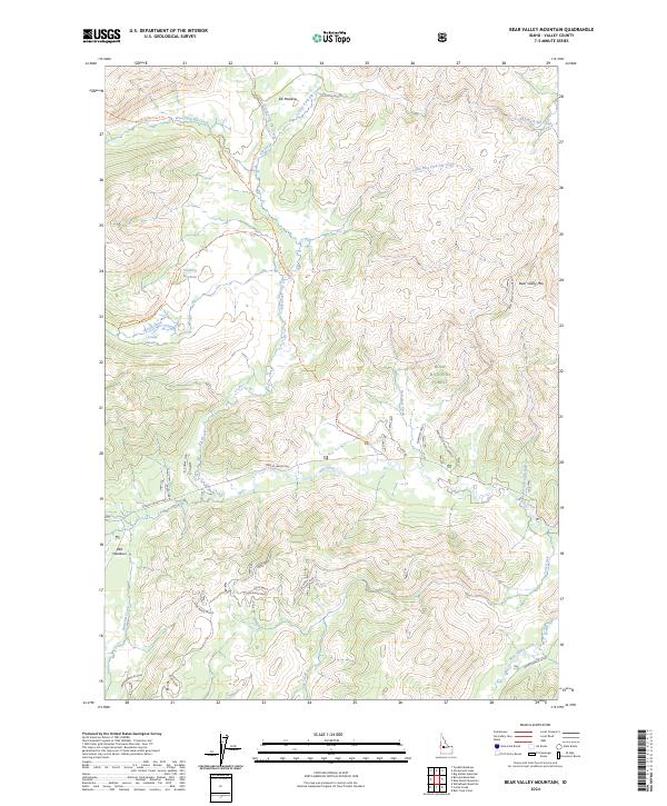
2024 Map of Bear Valley Mountain
USGS Topo · Published 2024About this map
Bear Valley Mtn Lookout stands as a prominent vantage point overlooking the headwaters of the Salmon River system in this remote section of the Boise National Forest. The landscape is a complex network of high-elevation meadows and vital watercourses, including the extensive Wet Meadows and Corduroy Meadows. These openings in the timber, such as Crane Meadow and Elk Meadow, have long served as critical navigational landmarks for travelers moving through the Idaho backcountry.
Find a feature on this map
37 named features on this map. Tap any name to fly to it.
Don’t see what you’re looking for? This feature index may not catch every label — zoom into the map to look around manually.
Map Details
Editions of this 2024 Bear Valley Mountain Map
This is the sole edition of this map. No revisions or reprints were ever made.
Other maps of this area

1891 · Bear Valley
USGS Topo · 1:125,000

1893 · Bear Valley
USGS Topo · 1:125,000

1909 · Garden Valley
USGS Topo · 1:125,000

1953 · Deadwood Reservoir
USGS Topo · 1:62,500

1954 · Warm Lake
USGS Topo · 1:62,500

1957 · Challis
USGS Topo · 1:250,000

1960 · Challis
USGS Topo · 1:250,000

1961 · Chinook Mtn
USGS Topo · 1:62,500

1963 · Challis
USGS Topo · 1:250,000

1972 · Bull Trout Point
USGS Topo · 1:24,000