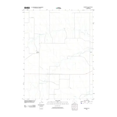
2009 Map of Beardsley
USGS Topo · Published 2009About this map
Beardsley sits at the heart of this Western Kansas landscape, defined by the winding paths of the High Plains drainage system. The topography is shaped by the parallel courses of North Beaver Creek, Little Beaver Creek, and the primary Beaver Creek, which create a subtle but distinct relief across the prairie. This 2009 survey reflects the enduring agricultural character of Rawlins County, where the section-line road network, including Co RD 407, provides the framework for local transit and land division. To the east, the Blakeman Cemetery serves as a significant genealogical landmark, anchoring the area's history to a specific physical location. The map illustrates how human settlement and infrastructure have adapted to the watercourses that remain the most prominent natural features in this arid region.
Find a feature on this map
6 named features on this map. Tap any name to fly to it.
Don’t see what you’re looking for? This feature index may not catch every label — zoom into the map to look around manually.
Map Details
Editions of this 2009 Beardsley Map
This is the sole edition of this map. No revisions or reprints were ever made.
Other maps of this area

1950 · Mc Donald
USGS Topo · 1:62,500

1951 · Mc Donald
USGS Topo · 1:62,500

1951 · Atwood
USGS Topo · 1:62,500

1951 · Chardon
USGS Topo · 1:62,500

1951 · Dewey Ranch
USGS Topo · 1:62,500

1954 · Goodland
USGS Topo · 1:250,000

1956 · Goodland
USGS Topo · 1:250,000

1957 · Goodland
USGS Topo · 1:250,000
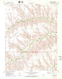
1978 · Beardsley
USGS Topo · 1:24,000
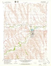
1978 · Atwood
USGS Topo · 1:24,000