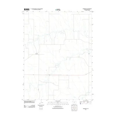
2012 Map of Beardsley
USGS Topo · Published 2012About this map
The small settlement of Beardsley is the central hub of this northwestern Kansas landscape, situated near the winding drainage of N Beaver Cr. The map reveals a rural environment structured by the grid of local section lines and corridors like Co RD 407, reflecting the agricultural heritage of Rawlins County. To the east, the Blakeman Cem stands as a significant point for genealogical research, serving as a primary record of the families who settled this high plains region. The hydrology of the area is defined by the convergence of several waterways, including Little Beaver Cr and the main branch of Beaver Cr, which have shaped the topography and settlement patterns of this prairie country.
Find a feature on this map
7 named features on this map. Tap any name to fly to it.
Don’t see what you’re looking for? This feature index may not catch every label — zoom into the map to look around manually.
Map Details
Editions of this 2012 Beardsley Map
This is the sole edition of this map. No revisions or reprints were ever made.
Other maps of this area

1950 · Mc Donald
USGS Topo · 1:62,500

1951 · Mc Donald
USGS Topo · 1:62,500

1951 · Atwood
USGS Topo · 1:62,500

1951 · Chardon
USGS Topo · 1:62,500

1951 · Dewey Ranch
USGS Topo · 1:62,500

1954 · Goodland
USGS Topo · 1:250,000

1956 · Goodland
USGS Topo · 1:250,000

1957 · Goodland
USGS Topo · 1:250,000
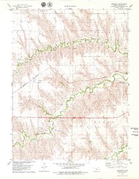
1978 · Beardsley
USGS Topo · 1:24,000
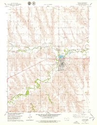
1978 · Atwood
USGS Topo · 1:24,000